Aitape geodata
Aitape (Sandaun) is a populated place; located in Papua New Guinea in Pacific/Port_Moresby (GMT+10) time zone. With population of 5,547 people, there are 26 cities with bigger population in this country. Compared to other cities in Papua New Guinea, 93.2% of cities are located further ↓South; 93.2% of cities are located further →East and 97.7% of cities have higher elevation than Aitape. Note1


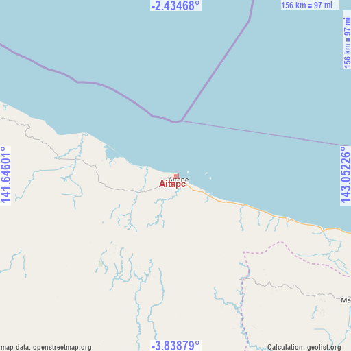
Aitape GPS coordinates[2]
3° 8' 13.092" South, 142° 20' 56.868" East
| Map corner | latitude | longitude |
|---|---|---|
| Upper-left | -2.43468°, | 141.64601° |
| Center: | -3.13697°, | 142.34913° |
| Lower-right: | -3.83879°, | 143.05226° |
| Map W x H: | 156.1×156.1 km | = 97×97mi |
| max Lat: | -2.0341° ⇑6.8% North |
| Aitape: | -3.13697° |
| min Lat: | ⇓93.2% South -10.61038° |
| min Long | Aitape | max Long |
| 141.29061° | 142.34913° | 155.69147° |
| W 6.8%⇐ | ⇒93.2% E |
Elevation
Elevation of Aitape is 1 m = 3 ft, and this is 580 m = 1903 ft below average elevation for this country.
| Max E: |
2248 m = 7375 ft | 97.7% |
| Avg. | 581 m = 1906 ft | |
| Aitape | 1 m = 3 ft | |
Min E: |
0 m = 0 ft | 2.3% |
See also: Papua New Guinea elevation on elevation.city.
Geographical zone
Aitape is located in South Torrid zone (between Equator and Tropic of Capricorn). Distance of Equator is 348.8 km =216.7 mi to North.| Distance of | km | miles | from Aitape |
|---|---|---|---|
| Equator | 348.8 | 216.7 | to North |
| Tropic Capricorn | 2257.1 | 1402.5 | to South |
| Antarctic Circle | 7052.4 | 4382.2 | to South |
| South Pole | 9658.3 | 6001.4 | to South |


Nearby cities:
15 places around Aitape: (largest is in red/bold)
• Ambunti
130.9 km =81.3 mi,  156°
156°
• Angoram
216.5 km =134.5 mi,  118°
118°
• Ialibu
394.3 km =245 mi,  152°
152°
• Kiunga
352 km =218.7 mi,  199°
199°
• Kurumul
394.1 km =244.9 mi,  140°
140°
• Laiagam
291.6 km =181.2 mi, 146°
• Mendi
364.7 km =226.6 mi, 156°
• Minj
402.9 km =250.4 mi, 139°
• Mount Hagen
367.4 km =228.3 mi, 145°
• Porgera
273.4 km =169.9 mi, 161°
• Rauna
360.2 km =223.8 mi, 143°
• Tari
308.3 km =191.6 mi,  167°
167°
• Vanimo
126.7 km =78.7 mi,  293°
293°
• Wabag
302.8 km =188.2 mi, 149°
• Wewak
149.6 km =93 mi,  107°
107°
Sources, notices
• [Note1] Compared only with cities in Papua New Guinea existing in our database
• [Src1] Map data: © OpenStreetMap contributors (CC-BY-SA)
• [Src2] Other city data from geonames.org with taken over terms of usage.
• [Src3] Geographical zone / Annual Mean Temperature by Robert A. Rohde @ Wikipedia
