Jampur geodata
Jampur (Punjab) is a populated place; located in Pakistan in Asia/Karachi (GMT+5) time zone. With population of 63,791 people, there are 114 cities with bigger population in this country. Compared to other cities in Pakistan, 61.9% of cities are located further ↑North; 59.6% of cities are located further →East and 67.7% of cities have higher elevation than Jampur. Note1


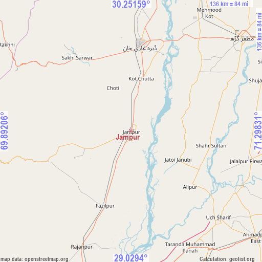
Jampur GPS coordinates[2]
29° 38' 32.46" North, 70° 35' 42.648" East
| Map corner | latitude | longitude |
|---|---|---|
| Upper-left | 30.25159°, | 69.89206° |
| Center: | 29.64235°, | 70.59518° |
| Lower-right: | 29.0294°, | 71.29831° |
| Map W x H: | 135.9×135.9 km | = 84.4×84.4mi |
| max Lat: | 36.32162° ⇑61.9% North |
| Jampur: | 29.64235° |
| min Lat: | ⇓38.1% South 24.14422° |
| min Long | Jampur | max Long |
| 61.74573° | 70.59518° | 75.63372° |
| W 40.4%⇐ | ⇒59.6% E |
Elevation
Elevation of Jampur is 107 m = 351 ft, and this is 238 m = 781 ft below average elevation for this country.
| Max E: |
2732 m = 8963 ft | 67.7% |
| Avg. | 345 m = 1132 ft | |
| Jampur | 107 m = 351 ft | |
Min E: |
3 m = 10 ft | 32.3% |
See also: Jampur elevation on elevation.city.
Geographical zone
Jampur is located in North temperate zone (between Tropic of Cancer and the Arctic Circle). Distance of this Northern Tropic circle is 690 km =428.7 mi to South.| Distance of | km | miles | from Jampur |
|---|---|---|---|
| North Pole | 6711.1 | 4170.1 | to North |
| Arctic Circle | 4105.3 | 2550.9 | to North |
| Tropic Cancer | 690 | 428.7 | to South |
| Equator | 3295.9 | 2048 | to South |


Nearby cities:
15 places around Jampur: (largest is in red/bold)
• Ahmadpur East
84.9 km =52.8 mi,  130°
130°
• Alipur
42.1 km =26.2 mi, 133°
• Dajal
23.2 km =14.4 mi,  246°
246°
• Dera Ghazi Khan
45.1 km =28 mi,  5°
5°
• Jalalpur Pirwala
62.5 km =38.8 mi,  104°
104°
• Jatoi Shimali
27.8 km =17.3 mi,  119°
119°
• Khangarh
62.4 km =38.8 mi,  60°
60°
• Kot Addu
98.6 km =61.3 mi,  21°
21°
• Lodhran
101 km =62.8 mi, 96°
• Multan
105.1 km =65.3 mi,  54°
54°
• Muzaffargarh
75 km =46.6 mi, 50°
• Rajanpur
65.1 km =40.5 mi,  203°
203°
• Shahr Sultan
41.9 km =26 mi, 100°
• Shujaabad
72.4 km =45 mi,  68°
68°
• Zahir Pir
92.5 km =57.5 mi,  184°
184°
Sources, notices
• [Note1] Compared only with cities in Pakistan existing in our database
• [Src1] Map data: © OpenStreetMap contributors (CC-BY-SA)
• [Src2] Other city data from geonames.org with taken over terms of usage.
• [Src3] Geographical zone / Annual Mean Temperature by Robert A. Rohde @ Wikipedia
