Bureya geodata
Bureya (Amur Oblast) is a populated place; located in Russia in Asia/Yakutsk (GMT+9) time zone. With population of 5,383 people, there are 2480 cities with bigger population in this country. Compared to other cities in Russia, 78.2% of cities are located further ↑North; 94.3% of cities are located further ←West and 55.6% of cities have higher elevation than Bureya. Note1


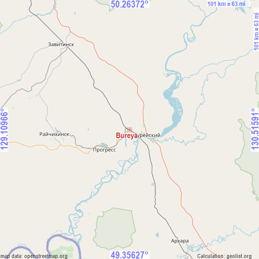
Bureya GPS coordinates[2]
49° 48' 43.632" North, 129° 48' 46.008" East
| Map corner | latitude | longitude |
|---|---|---|
| Upper-left | 50.26372°, | 129.10966° |
| Center: | 49.81212°, | 129.81278° |
| Lower-right: | 49.35627°, | 130.51591° |
| Map W x H: | 100.9×100.9 km | = 62.7×62.7mi |
| max Lat: | 73.50819° ⇑78.2% North |
| Bureya: | 49.81212° |
| min Lat: | ⇓21.8% South 41.28413° |
| min Long | Bureya | max Long |
| -179.12198° | 129.81278° | 179.35046° |
| W 94.3%⇐ | ⇒5.7% E |
Elevation
Elevation of Bureya is 133 m = 436 ft, and this is 69.6 m = 228 ft below average elevation for this country.
| Max E: |
2518 m = 8261 ft | 55.6% |
| Avg. | 202.6 m = 665 ft | |
| Bureya | 133 m = 436 ft | |
Min E: |
-28 m = -92 ft | 44.4% |
See also: Russia elevation on elevation.city.
Geographical zone
Bureya is located in North temperate zone (between Tropic of Cancer and the Arctic Circle). Distance of this North polar circle is 1862.6 km =1157.4 mi to North.| Distance of | km | miles | from Bureya |
|---|---|---|---|
| North Pole | 4468.5 | 2776.6 | to North |
| Arctic Circle | 1862.6 | 1157.4 | to North |
| Tropic Cancer | 2932.7 | 1822.3 | to South |
| Equator | 5538.6 | 3441.5 | to South |


Nearby cities:
15 places around Bureya: (largest is in red/bold)
• Arkhara
47.4 km =29.5 mi,  155°
155°
• Belogorsk
155.1 km =96.4 mi,  322°
322°
• Khingansk
125.4 km =77.9 mi,  127°
127°
• Konstantinovka
132.8 km =82.5 mi,  260°
260°
• Kul’dur
148.1 km =92 mi,  117°
117°
• Novobureyskiy
4.7 km =2.9 mi,  110°
110°
• Novoraychikhinsk
16.3 km =10.1 mi, 258°
• Poyarkovo
85.8 km =53.3 mi, 256°
• Raychikhinsk
29 km =18 mi,  265°
265°
• Romny
107.6 km =66.9 mi,  339°
339°
• Shirokiy
21.8 km =13.5 mi,  254°
254°
• Talakan
59.8 km =37.2 mi,  32°
32°
• Tambovka
129.6 km =80.5 mi,  284°
284°
• Yekaterinoslavka
80.1 km =49.8 mi, 321°
• Zavitinsk
42.6 km =26.5 mi, 321°
Sources, notices
• [Note1] Compared only with cities in Russia existing in our database
• [Src1] Map data: © OpenStreetMap contributors (CC-BY-SA)
• [Src2] Other city data from geonames.org with taken over terms of usage.
• [Src3] Geographical zone / Annual Mean Temperature by Robert A. Rohde @ Wikipedia
