Vélingara geodata
Vélingara (Kolda) is a populated place; located in Senegal in Africa/Dakar (GMT+0) time zone. With population of 22,441 people, there are 21 cities with bigger population in this country. Compared to other cities in Senegal, 85% of cities are located further ↑North; 81.7% of cities are located further ←West and 95% of cities have lower elevation than Vélingara. Note1


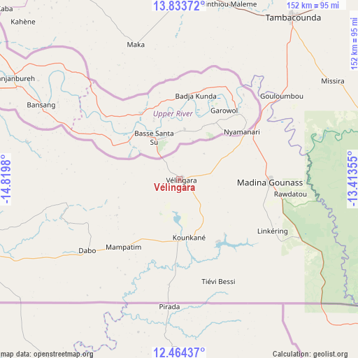
Vélingara GPS coordinates[2]
13° 9' 0" North, 14° 7' 0.012" West
| Map corner | latitude | longitude |
|---|---|---|
| Upper-left | 13.83372°, | -14.8198° |
| Center: | 13.15°, | -14.11667° |
| Lower-right: | 12.46437°, | -13.41355° |
| Map W x H: | 152.3×152.3 km | = 94.6×94.6mi |
| max Lat: | 16.51293° ⇑85% North |
| Vélingara: | 13.15° |
| min Lat: | ⇓15% South 12.485° |
| min Long | Vélingara | max Long |
| -17.47581° | -14.11667° | -12.18076° |
| W 81.7%⇐ | ⇒18.3% E |
Elevation
Elevation of Vélingara is 50 m = 164 ft, and this is 25.5 m = 84 ft above average elevation for this country.
| Max E: |
127 m = 417 ft | 5% |
| Vélingara | 50 m 164 ft | |
| Avg. | 24.5 m = 80 ft | |
Min E: |
0 m = 0 ft | 95% |
See also: Senegal elevation on elevation.city.
Geographical zone
Vélingara is located in North Torrid zone (between Equator and Tropic of Cancer). Distance of this Northern Tropic circle is 1143.8 km =710.7 mi to North.| Distance of | km | miles | from Vélingara |
|---|---|---|---|
| North Pole | 8544.9 | 5309.6 | to North |
| Arctic Circle | 5939 | 3690.3 | to North |
| Tropic Cancer | 1143.8 | 710.7 | to North |
| Equator | 1462.1 | 908.5 | to South |


Nearby cities:
15 places around Vélingara: (largest is in red/bold)
• Adéane
213.9 km =132.9 mi,  254°
254°
• Bignona
231.7 km =144 mi,  260°
260°
• Guinguinéo
233.7 km =145.2 mi,  302°
302°
• Kaffrine
187.9 km =116.8 mi, 304°
• Kaolack
238.9 km =148.4 mi, 297°
• Kolda
93.8 km =58.3 mi, 252°
• Koungheul
118.5 km =73.6 mi,  321°
321°
• Kédougou
220 km =136.7 mi,  107°
107°
• Marsassoum
205.1 km =127.4 mi, 259°
• Ndofane
214.1 km =133 mi,  293°
293°
• Nioro du Rip
193.9 km =120.5 mi, 290°
• Ranérou
239.6 km =148.9 mi,  3°
3°
• Sédhiou
163.6 km =101.7 mi, 252°
• Tambacounda
84.4 km =52.4 mi,  35°
35°
• Ziguinchor
242.6 km =150.7 mi, 254°
Sources, notices
• [Note1] Compared only with cities in Senegal existing in our database
• [Src1] Map data: © OpenStreetMap contributors (CC-BY-SA)
• [Src2] Other city data from geonames.org with taken over terms of usage.
• [Src3] Geographical zone / Annual Mean Temperature by Robert A. Rohde @ Wikipedia
