Nshamba geodata
Nshamba (Kagera) is a populated place; located in Tanzania in Africa/Dar_es_Salaam (GMT+3) time zone. With population of 19,815 people, there are 124 cities with bigger population in this country. Compared to other cities in Tanzania, 95.5% of cities are located further ↓South; 90.6% of cities are located further →East and 86% of cities have lower elevation than Nshamba. Note1


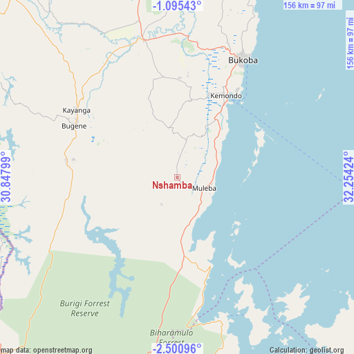
Nshamba GPS coordinates[2]
1° 47' 53.988" South, 31° 33' 3.996" East
| Map corner | latitude | longitude |
|---|---|---|
| Upper-left | -1.09543°, | 30.84799° |
| Center: | -1.79833°, | 31.55111° |
| Lower-right: | -2.50096°, | 32.25424° |
| Map W x H: | 156.3×156.3 km | = 97.1×97.1mi |
| max Lat: | -1.14389° ⇑4.5% North |
| Nshamba: | -1.79833° |
| min Lat: | ⇓95.5% South -11.36667° |
| min Long | Nshamba | max Long |
| 29.62667° | 31.55111° | 40.33333° |
| W 9.4%⇐ | ⇒90.6% E |
Elevation
Elevation of Nshamba is 1540 m = 5052 ft, and this is 597.2 m = 1959 ft above average elevation for this country.
| Max E: |
2377 m = 7799 ft | 14% |
| Nshamba | 1540 m 5052 ft | |
| Avg. | 942.8 m = 3093 ft | |
Min E: |
0 m = 0 ft | 86% |
See also: Tanzania elevation on elevation.city.
Geographical zone
Nshamba is located in South Torrid zone (between Equator and Tropic of Capricorn). Distance of Equator is 200 km =124.3 mi to North.| Distance of | km | miles | from Nshamba |
|---|---|---|---|
| Equator | 200 | 124.3 | to North |
| Tropic Capricorn | 2406 | 1495 | to South |
| Antarctic Circle | 7201.2 | 4474.6 | to South |
| South Pole | 9807.1 | 6093.8 | to South |


Nearby cities:
15 places around Nshamba: (largest is in red/bold)
• Biharamulo
96.5 km =60 mi,  196°
196°
• Bugene
51.1 km =31.8 mi,  296°
296°
• Bukoba
59.5 km =37 mi,  29°
29°
• Buseresere
140.9 km =87.6 mi,  165°
165°
• Chato
96.4 km =59.9 mi, 165°
• Geita
141.4 km =87.9 mi,  147°
147°
• Kamachumu
21.4 km =13.3 mi,  20°
20°
• Katerero
48.7 km =30.3 mi, 24°
• Katoro
44.7 km =27.8 mi,  352°
352°
• Katoro
141.2 km =87.7 mi,  164°
164°
• Kyaka
62.4 km =38.8 mi, 346°
• Muleba
12.4 km =7.7 mi,  111°
111°
• Ngara
127.3 km =79.1 mi,  231°
231°
• Nsunga
74.8 km =46.5 mi, 346°
• Nyakahanga
50.4 km =31.3 mi, 295°
Sources, notices
• [Note1] Compared only with cities in Tanzania existing in our database
• [Src1] Map data: © OpenStreetMap contributors (CC-BY-SA)
• [Src2] Other city data from geonames.org with taken over terms of usage.
• [Src3] Geographical zone / Annual Mean Temperature by Robert A. Rohde @ Wikipedia
