Kyaka geodata
Kyaka (Kagera) is a populated place; located in Tanzania in Africa/Dar_es_Salaam (GMT+3) time zone. With population of 13,810 people, there are 192 cities with bigger population in this country. Compared to other cities in Tanzania, 99.7% of cities are located further ↓South; 92% of cities are located further →East and 55.2% of cities have lower elevation than Kyaka. Note1


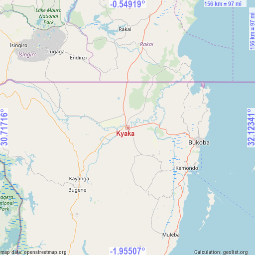
Kyaka GPS coordinates[2]
1° 15' 7.992" South, 31° 25' 13.008" East
| Map corner | latitude | longitude |
|---|---|---|
| Upper-left | -0.54919°, | 30.71716° |
| Center: | -1.25222°, | 31.42028° |
| Lower-right: | -1.95507°, | 32.12341° |
| Map W x H: | 156.3×156.3 km | = 97.1×97.1mi |
| max Lat: | -1.14389° ⇑0.3% North |
| Kyaka: | -1.25222° |
| min Lat: | ⇓99.7% South -11.36667° |
| min Long | Kyaka | max Long |
| 29.62667° | 31.42028° | 40.33333° |
| W 8%⇐ | ⇒92% E |
Elevation
Elevation of Kyaka is 1160 m = 3806 ft, and this is 217.2 m = 713 ft above average elevation for this country.
| Max E: |
2377 m = 7799 ft | 44.8% |
| Kyaka | 1160 m 3806 ft | |
| Avg. | 942.8 m = 3093 ft | |
Min E: |
0 m = 0 ft | 55.2% |
See also: Tanzania elevation on elevation.city.
Geographical zone
Kyaka is located in South Torrid zone (between Equator and Tropic of Capricorn). Distance of Equator is 139.2 km =86.5 mi to North.| Distance of | km | miles | from Kyaka |
|---|---|---|---|
| Equator | 139.2 | 86.5 | to North |
| Tropic Capricorn | 2466.7 | 1532.7 | to South |
| Antarctic Circle | 7261.9 | 4512.3 | to South |
| South Pole | 9867.8 | 6131.6 | to South |


Nearby cities:
15 places around Kyaka: (largest is in red/bold)
• Biharamulo
153.9 km =95.6 mi,  184°
184°
• Bugene
48.9 km =30.4 mi,  219°
219°
• Bukoba
44.5 km =27.7 mi,  101°
101°
• Bukonyo
185.2 km =115.1 mi,  114°
114°
• Chato
158.8 km =98.7 mi,  165°
165°
• Kamachumu
46.4 km =28.8 mi,  151°
151°
• Katerero
38.5 km =23.9 mi,  115°
115°
• Katoro
18.7 km =11.6 mi, 151°
• Muleba
70.3 km =43.7 mi,  158°
158°
• Muriti
185.1 km =115 mi, 116°
• Ngara
163.8 km =101.8 mi,  211°
211°
• Nshamba
62.4 km =38.8 mi, 166°
• Nsunga
12.4 km =7.7 mi,  346°
346°
• Nyakahanga
49.9 km =31 mi, 218°
• Rulenge
185 km =115 mi, 208°
Sources, notices
• [Note1] Compared only with cities in Tanzania existing in our database
• [Src1] Map data: © OpenStreetMap contributors (CC-BY-SA)
• [Src2] Other city data from geonames.org with taken over terms of usage.
• [Src3] Geographical zone / Annual Mean Temperature by Robert A. Rohde @ Wikipedia
