Velyki Sorochyntsi geodata
Velyki Sorochyntsi (Poltava) is a populated place; located in Ukraine in Europe/Kiev (GMT+3) time zone. With population of 4,050 people, there are 755 cities with bigger population in this country. Compared to other cities in Ukraine, 84.1% of cities are located further ↓South; 61.1% of cities are located further ←West and 62.1% of cities have higher elevation than Velyki Sorochyntsi. Note1


Velyki Sorochyntsi GPS coordinates[2]
50° 1' 23.304" North, 33° 56' 29.184" East
| Map corner | latitude | longitude |
|---|---|---|
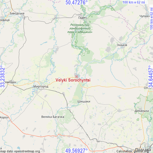
| Upper-left | 50.47276°, | 33.23832° |
| Center: | 50.02314°, | 33.94144° |
| Lower-right: | 49.56927°, | 34.64457° |
| Map W x H: | 100.5×100.5 km | = 62.4×62.4mi |
| max Lat: | 52.18903° ⇑15.9% North |
| Velyki Sorochyntsi: | 50.02314° |
| min Lat: | ⇓84.1% South 44.39214° |
| min Long | Velyki Sorochyn | max Long |
| 22.20555° | 33.94144° | 40.13222° |
| W 61.1%⇐ | ⇒38.9% E |
Elevation
Elevation of Velyki Sorochyntsi is 100 m = 328 ft, and this is 55.8 m = 183 ft below average elevation for this country.
| Max E: |
886 m = 2907 ft | 62.1% |
| Avg. | 155.8 m = 511 ft | |
| Velyki Sorochyntsi | 100 m = 328 ft | |
Min E: |
-3 m = -10 ft | 37.9% |
See also: Ukraine elevation on elevation.city.
Geographical zone
Velyki Sorochyntsi is located in North temperate zone (between Tropic of Cancer and the Arctic Circle). Distance of this North polar circle is 1839.1 km =1142.8 mi to North.| Distance of | km | miles | from Velyki Sorochyntsi |
|---|---|---|---|
| North Pole | 4445 | 2762 | to North |
| Arctic Circle | 1839.1 | 1142.8 | to North |
| Tropic Cancer | 2956.1 | 1836.8 | to South |
| Equator | 5562.1 | 3456.1 | to South |


Nearby cities:
15 places around Velyki Sorochyntsi: (largest is in red/bold)
• Dykan’ka
47.4 km =29.5 mi,  117°
117°
• Hadyach
38.9 km =24.2 mi,  5°
5°
• Khorol
54.4 km =33.8 mi,  240°
240°
• Komyshnya
25.7 km =16 mi,  314°
314°
• Kotel’va
58.6 km =36.4 mi,  85°
85°
• Lokhvytsya
61.8 km =38.4 mi, 308°
• Lypova Dolyna
61 km =37.9 mi,  350°
350°
• Myrhorod
24.5 km =15.2 mi,  255°
255°
• Oposhnya
48.5 km =30.1 mi,  98°
98°
• Reshetylivka
51.9 km =32.2 mi,  169°
169°
• Romodan
44.2 km =27.5 mi,  265°
265°
• Sencha
49.6 km =30.8 mi,  301°
301°
• Shyshaky
16.5 km =10.3 mi,  162°
162°
• Velyka Bahachka
30.2 km =18.8 mi,  211°
211°
• Zin’kiv
36.5 km =22.7 mi,  55°
55°
Sources, notices
• [Note1] Compared only with cities in Ukraine existing in our database
• [Src1] Map data: © OpenStreetMap contributors (CC-BY-SA)
• [Src2] Other city data from geonames.org with taken over terms of usage.
• [Src3] Geographical zone / Annual Mean Temperature by Robert A. Rohde @ Wikipedia
