Burlington geodata
Burlington (North Dakota) is a populated place; located in United States in America/Chicago (GMT-5) time zone. With population of 1,181 people, there are 15234 cities with bigger population in this country. Compared to other cities in United States, 98.9% of cities are located further ↓South; 81.5% of cities are located further →East and 87.6% of cities have lower elevation than Burlington. Note1


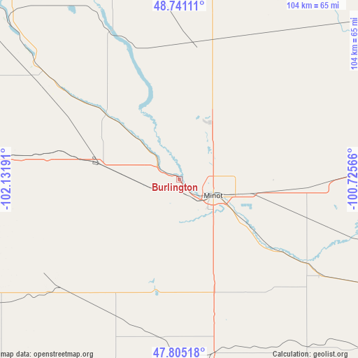
Burlington GPS coordinates[2]
48° 16' 31.044" North, 101° 25' 43.608" West
| Map corner | latitude | longitude |
|---|---|---|
| Upper-left | 48.74111°, | -102.13191° |
| Center: | 48.27529°, | -101.42878° |
| Lower-right: | 47.80518°, | -100.72566° |
| Map W x H: | 104.1×104.1 km | = 64.7×64.7mi |
| max Lat: | 71.29058° ⇑1.1% North |
| Burlington: | 48.27529° |
| min Lat: | ⇓98.9% South 19.06759° |
| min Long | Burlington | max Long |
| -171.73463° | -101.42878° | -66.98998° |
| W 18.5%⇐ | ⇒81.5% E |
Elevation
Elevation of Burlington is 489 m = 1604 ft, and this is 194.2 m = 637 ft above average elevation for this country.
| Max E: |
3189 m = 10463 ft | 12.4% |
| Burlington | 489 m 1604 ft | |
| Avg. | 294.8 m = 967 ft | |
Min E: |
-60 m = -197 ft | 87.6% |
See also: United States elevation on elevation.city.
Geographical zone
Burlington is located in North temperate zone (between Tropic of Cancer and the Arctic Circle). Distance of this North polar circle is 2033.5 km =1263.6 mi to North.| Distance of | km | miles | from Burlington |
|---|---|---|---|
| North Pole | 4639.4 | 2882.8 | to North |
| Arctic Circle | 2033.5 | 1263.6 | to North |
| Tropic Cancer | 2761.8 | 1716.1 | to South |
| Equator | 5367.7 | 3335.3 | to South |


Nearby cities:
15 places around Burlington: (largest is in red/bold)
• Berthold
23.2 km =14.4 mi,  280°
280°
• Bowbells
84 km =52.2 mi,  314°
314°
• Four Bears Village
91.3 km =56.7 mi,  249°
249°
• Garrison
69.3 km =43.1 mi,  179°
179°
• Kenmare
65.5 km =40.7 mi, 312°
• Minot
10.9 km =6.8 mi,  115°
115°
• Minot Air Force Base
17.5 km =10.9 mi,  22°
22°
• Mohall
54.6 km =33.9 mi,  353°
353°
• New Town
85.3 km =53 mi, 247°
• Parshall
63.5 km =39.5 mi,  235°
235°
• Stanley
71.3 km =44.3 mi,  273°
273°
• Surrey
22.3 km =13.9 mi,  101°
101°
• Towner
76.1 km =47.3 mi,  84°
84°
• Turtle Lake
93.1 km =57.8 mi,  154°
154°
• Velva
44.3 km =27.5 mi, 123°
Sources, notices
• [Note1] Compared only with cities in United States existing in our database
• [Src1] Map data: © OpenStreetMap contributors (CC-BY-SA)
• [Src2] Other city data from geonames.org with taken over terms of usage.
• [Src3] Geographical zone / Annual Mean Temperature by Robert A. Rohde @ Wikipedia
