Kenmare geodata
Kenmare (North Dakota) is a populated place; located in United States in America/Chicago (GMT-5) time zone. With population of 1,083 people, there are 15766 cities with bigger population in this country. Compared to other cities in United States, 99.2% of cities are located further ↓South; 81.9% of cities are located further →East and 89.3% of cities have lower elevation than Kenmare. Note1


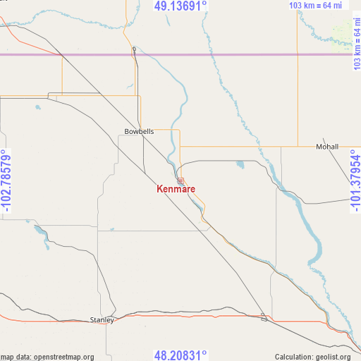
Kenmare GPS coordinates[2]
48° 40' 29.1" North, 102° 4' 57.576" West
| Map corner | latitude | longitude |
|---|---|---|
| Upper-left | 49.13691°, | -102.78579° |
| Center: | 48.67475°, | -102.08266° |
| Lower-right: | 48.20831°, | -101.37954° |
| Map W x H: | 103.3×103.2 km | = 64.2×64.1mi |
| max Lat: | 71.29058° ⇑0.8% North |
| Kenmare: | 48.67475° |
| min Lat: | ⇓99.2% South 19.06759° |
| min Long | Kenmare | max Long |
| -171.73463° | -102.08266° | -66.98998° |
| W 18.1%⇐ | ⇒81.9% E |
Elevation
Elevation of Kenmare is 577 m = 1893 ft, and this is 282.2 m = 926 ft above average elevation for this country.
| Max E: |
3189 m = 10463 ft | 10.7% |
| Kenmare | 577 m 1893 ft | |
| Avg. | 294.8 m = 967 ft | |
Min E: |
-60 m = -197 ft | 89.3% |
See also: United States elevation on elevation.city.
Geographical zone
Kenmare is located in North temperate zone (between Tropic of Cancer and the Arctic Circle). Distance of this North polar circle is 1989 km =1235.9 mi to North.| Distance of | km | miles | from Kenmare |
|---|---|---|---|
| North Pole | 4594.9 | 2855.1 | to North |
| Arctic Circle | 1989 | 1235.9 | to North |
| Tropic Cancer | 2806.2 | 1743.7 | to South |
| Equator | 5412.1 | 3362.9 | to South |


Nearby cities:
15 places around Kenmare: (largest is in red/bold)
• Berthold
47.6 km =29.6 mi,  147°
147°
• Bowbells
18.6 km =11.6 mi,  319°
319°
• Burlington
65.5 km =40.7 mi,  132°
132°
• Crosby
92.7 km =57.6 mi,  286°
286°
• Four Bears Village
85.2 km =52.9 mi,  205°
205°
• Minot
76 km =47.2 mi, 130°
• Minot Air Force Base
61.6 km =38.3 mi,  117°
117°
• Mohall
42.9 km =26.7 mi,  76°
76°
• New Town
82.8 km =51.4 mi,  201°
201°
• Parshall
80.3 km =49.9 mi,  182°
182°
• Ray
87.8 km =54.6 mi,  245°
245°
• Stanley
45.8 km =28.5 mi, 209°
• Surrey
85.3 km =53 mi, 124°
• Tioga
70.1 km =43.6 mi,  243°
243°
• Velva
109.5 km =68 mi, 128°
Sources, notices
• [Note1] Compared only with cities in United States existing in our database
• [Src1] Map data: © OpenStreetMap contributors (CC-BY-SA)
• [Src2] Other city data from geonames.org with taken over terms of usage.
• [Src3] Geographical zone / Annual Mean Temperature by Robert A. Rohde @ Wikipedia
