Toteng geodata
Toteng is a populated place; located in Botswana in Africa/Gaborone (GMT+2) time zone. With population of 556 people, there are 101 cities with bigger population in this country. Compared to other cities in Botswana, 89.5% of cities are located further ↓South; 84.8% of cities are located further →East and 72.4% of cities have higher elevation than Toteng. Note1


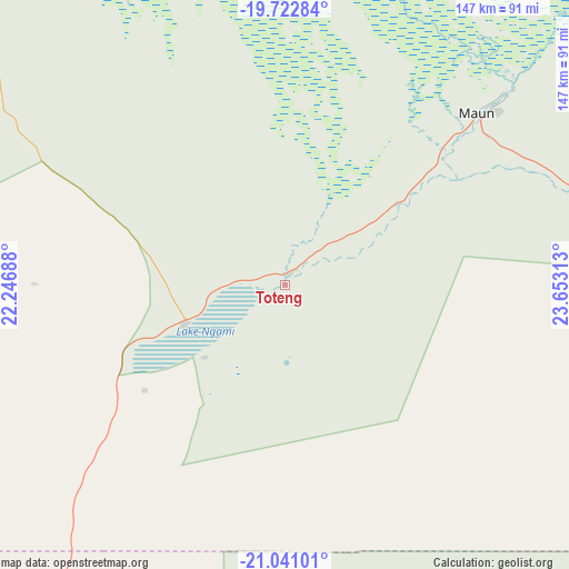
Toteng GPS coordinates[2]
20° 22' 59.988" South, 22° 57' 0" East
| Map corner | latitude | longitude |
|---|---|---|
| Upper-left | -19.72284°, | 22.24688° |
| Center: | -20.38333°, | 22.95° |
| Lower-right: | -21.04101°, | 23.65313° |
| Map W x H: | 146.6×146.6 km | = 91.1×91.1mi |
| max Lat: | -17.80165° ⇑10.5% North |
| Toteng: | -20.38333° |
| min Lat: | ⇓89.5% South -26.9° |
| min Long | Toteng | max Long |
| 20.06667° | 22.95° | 28.74946° |
| W 15.2%⇐ | ⇒84.8% E |
Elevation
Elevation of Toteng is 934 m = 3064 ft, and this is 81 m = 266 ft below average elevation for this country.
| Max E: |
1406 m = 4613 ft | 72.4% |
| Avg. | 1015 m = 3330 ft | |
| Toteng | 934 m = 3064 ft | |
Min E: |
676 m = 2218 ft | 27.6% |
See also: Botswana elevation on elevation.city.
Geographical zone
Toteng is located in South Torrid zone (between Equator and Tropic of Capricorn). Distance of this Southern Tropic circle is 339.5 km =211 mi to South.| Distance of | km | miles | from Toteng |
|---|---|---|---|
| Equator | 2266.4 | 1408.3 | to North |
| Tropic Capricorn | 339.5 | 211 | to South |
| Antarctic Circle | 5134.8 | 3190.6 | to South |
| South Pole | 7740.6 | 4809.8 | to South |


Nearby cities:
15 places around Toteng: (largest is in red/bold)
• Dekar
165.8 km =103 mi,  219°
219°
• Ghanzi
199.2 km =123.8 mi, 222°
• Gweta
239.2 km =148.6 mi,  84°
84°
• Kachikau
293.4 km =182.3 mi,  32°
32°
• Kavimba
315.1 km =195.8 mi, 33°
• Letlhakane
297.5 km =184.9 mi,  112°
112°
• Maun
66 km =41 mi,  47°
47°
• Mopipi
219.8 km =136.6 mi, 113°
• Nata
337.7 km =209.8 mi,  86°
86°
• Nokaneng
107 km =66.5 mi,  318°
318°
• Orapa
272.4 km =169.3 mi, 112°
• Rakops
163 km =101.3 mi,  115°
115°
• Sehithwa
26 km =16.2 mi,  249°
249°
• Shakawe
252.7 km =157 mi,  332°
332°
• Tsau
58.2 km =36.2 mi,  296°
296°
Sources, notices
• [Note1] Compared only with cities in Botswana existing in our database
• [Src1] Map data: © OpenStreetMap contributors (CC-BY-SA)
• [Src2] Other city data from geonames.org with taken over terms of usage.
• [Src3] Geographical zone / Annual Mean Temperature by Robert A. Rohde @ Wikipedia
