Mosetse geodata
Mosetse (Central) is a populated place; located in Botswana in Africa/Gaborone (GMT+2) time zone. With population of 1,780 people, there are 61 cities with bigger population in this country. Compared to other cities in Botswana, 84.8% of cities are located further ↓South; 66.7% of cities are located further ←West and 60% of cities have lower elevation than Mosetse. Note1


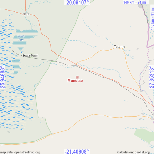
Mosetse GPS coordinates[2]
20° 45' 0" South, 26° 39' 0" East
| Map corner | latitude | longitude |
|---|---|---|
| Upper-left | -20.09107°, | 25.94688° |
| Center: | -20.75°, | 26.65° |
| Lower-right: | -21.40608°, | 27.35313° |
| Map W x H: | 146.2×146.2 km | = 90.8×90.8mi |
| max Lat: | -17.80165° ⇑15.2% North |
| Mosetse: | -20.75° |
| min Lat: | ⇓84.8% South -26.9° |
| min Long | Mosetse | max Long |
| 20.06667° | 26.65° | 28.74946° |
| W 66.7%⇐ | ⇒33.3% E |
Elevation
Elevation of Mosetse is 1034 m = 3392 ft, and this is 19 m = 62 ft above average elevation for this country.
| Max E: |
1406 m = 4613 ft | 40% |
| Mosetse | 1034 m 3392 ft | |
| Avg. | 1015 m = 3330 ft | |
Min E: |
676 m = 2218 ft | 60% |
See also: Botswana elevation on elevation.city.
Geographical zone
Mosetse is located in South Torrid zone (between Equator and Tropic of Capricorn). Distance of this Southern Tropic circle is 298.7 km =185.6 mi to South.| Distance of | km | miles | from Mosetse |
|---|---|---|---|
| Equator | 2307.2 | 1433.6 | to North |
| Tropic Capricorn | 298.7 | 185.6 | to South |
| Antarctic Circle | 5094 | 3165.3 | to South |
| South Pole | 7699.9 | 4784.5 | to South |


Nearby cities:
15 places around Mosetse: (largest is in red/bold)
• Dukwe
30.5 km =19 mi,  307°
307°
• Francistown
100.6 km =62.5 mi,  117°
117°
• Gweta
160.5 km =99.7 mi,  293°
293°
• Kalakamati
70.9 km =44.1 mi,  75°
75°
• Letlhakane
132.3 km =82.2 mi,  236°
236°
• Makaleng
67.9 km =42.2 mi,  104°
104°
• Masunga
84.2 km =52.3 mi, 80°
• Mathambgwane
75.7 km =47 mi,  110°
110°
• Nata
76.7 km =47.7 mi,  320°
320°
• Orapa
146.2 km =90.8 mi, 244°
• Sebina
63.7 km =39.6 mi, 101°
• Selebi-Phikwe
184.2 km =114.5 mi,  137°
137°
• Serowe
182.2 km =113.2 mi,  178°
178°
• Sua
90.9 km =56.5 mi,  328°
328°
• Tonota
114.1 km =70.9 mi,  132°
132°
Sources, notices
• [Note1] Compared only with cities in Botswana existing in our database
• [Src1] Map data: © OpenStreetMap contributors (CC-BY-SA)
• [Src2] Other city data from geonames.org with taken over terms of usage.
• [Src3] Geographical zone / Annual Mean Temperature by Robert A. Rohde @ Wikipedia
