Charef geodata
Charef (Djelfa) is a populated place; located in Algeria in Africa/Algiers (GMT+1) time zone. With population of 27,700 people, there are 186 cities with bigger population in this country. Compared to other cities in Algeria, 86% of cities are located further ↑North; 65.1% of cities are located further →East and 97.7% of cities have lower elevation than Charef. Note1


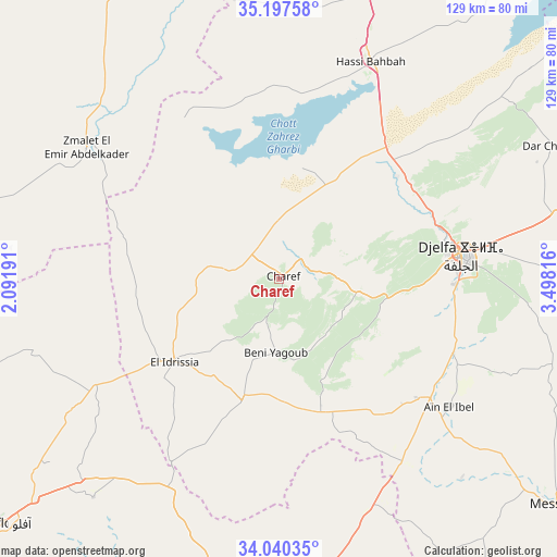
Charef GPS coordinates[2]
34° 37' 15.528" North, 2° 47' 42.108" East
| Map corner | latitude | longitude |
|---|---|---|
| Upper-left | 35.19758°, | 2.09191° |
| Center: | 34.62098°, | 2.79503° |
| Lower-right: | 34.04035°, | 3.49816° |
| Map W x H: | 128.7×128.7 km | = 80×80mi |
| max Lat: | 36.92917° ⇑86% North |
| Charef: | 34.62098° |
| min Lat: | ⇓14% South 22.785° |
| min Long | Charef | max Long |
| -8.14743° | 2.79503° | 8.46667° |
| W 34.9%⇐ | ⇒65.1% E |
Elevation
Elevation of Charef is 1157 m = 3796 ft, and this is 718.5 m = 2357 ft above average elevation for this country.
| Max E: |
1392 m = 4567 ft | 2.3% |
| Charef | 1157 m 3796 ft | |
| Avg. | 438.5 m = 1439 ft | |
Min E: |
5 m = 16 ft | 97.7% |
See also: Algeria elevation on elevation.city.
Geographical zone
Charef is located in North temperate zone (between Tropic of Cancer and the Arctic Circle). Distance of this Northern Tropic circle is 1243.6 km =772.7 mi to South.| Distance of | km | miles | from Charef |
|---|---|---|---|
| North Pole | 6157.6 | 3826.2 | to North |
| Arctic Circle | 3551.7 | 2206.9 | to North |
| Tropic Cancer | 1243.6 | 772.7 | to South |
| Equator | 3849.5 | 2392 | to South |


Nearby cities:
15 places around Charef: (largest is in red/bold)
• Aflou
85.1 km =52.9 mi,  228°
228°
• Aïn Oussera
92.9 km =57.7 mi,  6°
6°
• Birine
119.3 km =74.1 mi,  19°
19°
• Dar Chioukh
70.1 km =43.6 mi,  64°
64°
• Djelfa
43.2 km =26.8 mi,  82°
82°
• El Idrissia
31.3 km =19.4 mi, 231°
• Ksar Chellala
78.8 km =49 mi,  326°
326°
• Ksar el Boukhari
141 km =87.6 mi,  358°
358°
• Laghouat
91.5 km =56.9 mi,  175°
175°
• Mehdia daira de meghila
130.5 km =81.1 mi,  313°
313°
• Messaad
83.1 km =51.6 mi,  128°
128°
• Sougueur
134.1 km =83.3 mi,  297°
297°
• ’Aïn Deheb
116.7 km =72.5 mi,  282°
282°
• ’Aïn el Bell
50 km =31.1 mi, 128°
• ’Aïn el Melh
127.5 km =79.2 mi, 78°
Sources, notices
• [Note1] Compared only with cities in Algeria existing in our database
• [Src1] Map data: © OpenStreetMap contributors (CC-BY-SA)
• [Src2] Other city data from geonames.org with taken over terms of usage.
• [Src3] Geographical zone / Annual Mean Temperature by Robert A. Rohde @ Wikipedia
