Metahāra geodata
Metahāra (Oromiya) is a populated place; located in Ethiopia in Africa/Addis_Ababa (GMT+3) time zone. With population of 23,403 people, there are 57 cities with bigger population in this country. Compared to other cities in Ethiopia, 52.3% of cities are located further ↑North; 84.1% of cities are located further ←West and 92.5% of cities have higher elevation than Metahāra. Note1


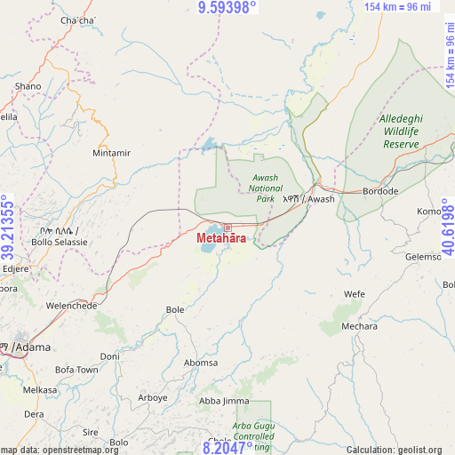
Metahāra GPS coordinates[2]
8° 54' 0" North, 39° 55' 0.012" East
| Map corner | latitude | longitude |
|---|---|---|
| Upper-left | 9.59398°, | 39.21355° |
| Center: | 8.9°, | 39.91667° |
| Lower-right: | 8.2047°, | 40.6198° |
| Map W x H: | 154.5×154.5 km | = 96×96mi |
| max Lat: | 14.277° ⇑52.3% North |
| Metahāra: | 8.9° |
| min Lat: | ⇓47.7% South 4.05° |
| min Long | Metahāra | max Long |
| 34.53333° | 39.91667° | 42.8° |
| W 84.1%⇐ | ⇒15.9% E |
Elevation
Elevation of Metahāra is 958 m = 3143 ft, and this is 937.6 m = 3076 ft below average elevation for this country.
| Max E: |
2854 m = 9364 ft | 92.5% |
| Avg. | 1895.6 m = 6219 ft | |
| Metahāra | 958 m = 3143 ft | |
Min E: |
367 m = 1204 ft | 7.5% |
See also: Ethiopia elevation on elevation.city.
Geographical zone
Metahāra is located in North Torrid zone (between Equator and Tropic of Cancer). Distance of Equator is 989.6 km =614.9 mi to South.| Distance of | km | miles | from Metahāra |
|---|---|---|---|
| North Pole | 9017.5 | 5603.2 | to North |
| Arctic Circle | 6411.6 | 3984 | to North |
| Tropic Cancer | 1616.3 | 1004.3 | to North |
| Equator | 989.6 | 614.9 | to South |


Nearby cities:
15 places around Metahāra: (largest is in red/bold)
• Abomsa
120.7 km =75 mi,  3°
3°
• Addis Ababa
129.2 km =80.3 mi,  276°
276°
• Bedēsa
95.2 km =59.2 mi,  90°
90°
• Bishoftu
104.4 km =64.9 mi,  260°
260°
• Debre Birhan
96.4 km =59.9 mi,  334°
334°
• Debre Sīna
106.7 km =66.3 mi,  350°
350°
• Gelemso
66.6 km =41.4 mi,  98°
98°
• Huruta
104.1 km =64.7 mi,  216°
216°
• Mojo
94.1 km =58.5 mi,  248°
248°
• Nazrēt
81.3 km =50.5 mi,  241°
241°
• Sendafa
102 km =63.4 mi,  285°
285°
• Sirre
80.5 km =50 mi, 216°
• Wenjī
85.7 km =53.3 mi,  234°
234°
• Āsbe Teferī
106.4 km =66.1 mi,  78°
78°
• Āwash
29 km =18 mi,  71°
71°
Sources, notices
• [Note1] Compared only with cities in Ethiopia existing in our database
• [Src1] Map data: © OpenStreetMap contributors (CC-BY-SA)
• [Src2] Other city data from geonames.org with taken over terms of usage.
• [Src3] Geographical zone / Annual Mean Temperature by Robert A. Rohde @ Wikipedia
