Bolgatanga geodata
Bolgatanga (Upper East) is a seat of a first-order administrative division; located in Ghana in Africa/Accra (GMT+0) time zone. With population of 54,430 people, there are 24 cities with bigger population in this country. Compared to other cities in Ghana, 97.2% of cities are located further ↓South; 51.4% of cities are located further →East and 59.7% of cities have lower elevation than Bolgatanga. Note1


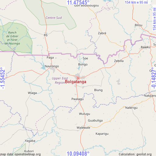
Bolgatanga GPS coordinates[2]
10° 47' 8.016" North, 0° 51' 5.004" West
| Map corner | latitude | longitude |
|---|---|---|
| Upper-left | 11.47545°, | -1.55452° |
| Center: | 10.78556°, | -0.85139° |
| Lower-right: | 10.09408°, | -0.14827° |
| Map W x H: | 153.6×153.6 km | = 95.4×95.4mi |
| max Lat: | 11.0616° ⇑2.8% North |
| Bolgatanga: | 10.78556° |
| min Lat: | ⇓97.2% South 4.86641° |
| min Long | Bolgatanga | max Long |
| -2.78516° | -0.85139° | 1.19012° |
| W 48.6%⇐ | ⇒51.4% E |
Elevation
Elevation of Bolgatanga is 191 m = 627 ft, and this is 20.8 m = 68 ft above average elevation for this country.
| Max E: |
477 m = 1565 ft | 40.3% |
| Bolgatanga | 191 m 627 ft | |
| Avg. | 170.2 m = 558 ft | |
Min E: |
0 m = 0 ft | 59.7% |
See also: Bolgatanga elevation on elevation.city.
Geographical zone
Bolgatanga is located in North Torrid zone (between Equator and Tropic of Cancer). Distance of Equator is 1199.2 km =745.1 mi to South.| Distance of | km | miles | from Bolgatanga |
|---|---|---|---|
| North Pole | 8807.8 | 5472.9 | to North |
| Arctic Circle | 6201.9 | 3853.7 | to North |
| Tropic Cancer | 1406.7 | 874.1 | to North |
| Equator | 1199.2 | 745.1 | to South |


Nearby cities:
15 places around Bolgatanga: (largest is in red/bold)
• Bawku
73.3 km =45.5 mi,  65°
65°
• Ejura
382.1 km =237.4 mi,  188°
188°
• Japekrom
415.2 km =258 mi,  210°
210°
• Kete Krachi
344.1 km =213.8 mi,  165°
165°
• Kintampo
318.4 km =197.8 mi,  197°
197°
• Kpandae
273.6 km =170 mi,  160°
160°
• Navrongo
29 km =18 mi,  294°
294°
• Salaga
251.1 km =156 mi, 171°
• Savelugu
129.1 km =80.2 mi,  178°
178°
• Sunyani
416 km =258.5 mi, 202°
• Tamale
154 km =95.7 mi, 179°
• Techiman
375.4 km =233.3 mi, 198°
• Wa
197.7 km =122.8 mi,  245°
245°
• Wenchi
365.6 km =227.2 mi, 202°
• Yendi
175.4 km =109 mi,  148°
148°
Sources, notices
• [Note1] Compared only with cities in Ghana existing in our database
• [Src1] Map data: © OpenStreetMap contributors (CC-BY-SA)
• [Src2] Other city data from geonames.org with taken over terms of usage.
• [Src3] Geographical zone / Annual Mean Temperature by Robert A. Rohde @ Wikipedia
