Gaoual geodata
Gaoual (Boke) is a seat of a second-order administrative division; located in Guinea in Africa/Conakry (GMT+0) time zone. With population of 7,461 people, there are 29 cities with bigger population in this country. Compared to other cities in Guinea, 92.3% of cities are located further ↓South; 71.8% of cities are located further →East and 74.4% of cities have higher elevation than Gaoual. Note1


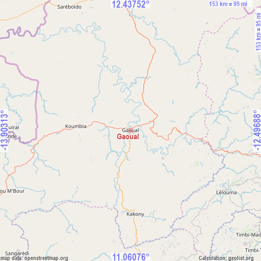
Gaoual GPS coordinates[2]
11° 45' 0" North, 13° 12' 0" West
| Map corner | latitude | longitude |
|---|---|---|
| Upper-left | 12.43752°, | -13.90313° |
| Center: | 11.75°, | -13.2° |
| Lower-right: | 11.06076°, | -12.49688° |
| Map W x H: | 153.1×153.1 km | = 95.1×95.1mi |
| max Lat: | 12.5311° ⇑7.7% North |
| Gaoual: | 11.75° |
| min Lat: | ⇓92.3% South 7.56748° |
| min Long | Gaoual | max Long |
| -14.36667° | -13.2° | -8.53333° |
| W 28.2%⇐ | ⇒71.8% E |
Elevation
Elevation of Gaoual is 79 m = 259 ft, and this is 354.4 m = 1163 ft below average elevation for this country.
| Max E: |
1440 m = 4724 ft | 74.4% |
| Avg. | 433.4 m = 1422 ft | |
| Gaoual | 79 m = 259 ft | |
Min E: |
0 m = 0 ft | 25.6% |
See also: Guinea elevation on elevation.city.
Geographical zone
Gaoual is located in North Torrid zone (between Equator and Tropic of Cancer). Distance of this Northern Tropic circle is 1299.4 km =807.4 mi to North.| Distance of | km | miles | from Gaoual |
|---|---|---|---|
| North Pole | 8700.6 | 5406.3 | to North |
| Arctic Circle | 6094.7 | 3787.1 | to North |
| Tropic Cancer | 1299.4 | 807.4 | to North |
| Equator | 1306.5 | 811.8 | to South |


Nearby cities:
15 places around Gaoual: (largest is in red/bold)
• Boké
149.7 km =93 mi,  232°
232°
• Dalaba
156.7 km =97.4 mi,  138°
138°
• Fria
159.4 km =99 mi,  195°
195°
• Kimbo
154.9 km =96.3 mi,  194°
194°
• Koubia
143.3 km =89 mi,  97°
97°
• Koundara
82.3 km =51.1 mi,  352°
352°
• Labé
110.8 km =68.8 mi,  115°
115°
• Lélouma
67.1 km =41.7 mi, 122°
• Mali
104.7 km =65.1 mi,  69°
69°
• Pita
116.6 km =72.5 mi,  131°
131°
• Sanguéya
172.7 km =107.3 mi, 227°
• Tondon
154.7 km =96.1 mi, 186°
• Tougué
170.7 km =106.1 mi, 101°
• Télimélé
96.2 km =59.8 mi,  169°
169°
• Youkounkoun
87.3 km =54.2 mi,  5°
5°
Sources, notices
• [Note1] Compared only with cities in Guinea existing in our database
• [Src1] Map data: © OpenStreetMap contributors (CC-BY-SA)
• [Src2] Other city data from geonames.org with taken over terms of usage.
• [Src3] Geographical zone / Annual Mean Temperature by Robert A. Rohde @ Wikipedia
