Maḩallāt geodata
Maḩallāt (Markazi) is a seat of a second-order administrative division; located in Iran in Asia/Tehran (GMT+3.5) time zone. In our database, there are 232 cities with bigger population. Compared to other cities in Iran, 54.2% of cities are located further ↑North; 58.3% of cities are located further →East and 83.9% of cities have lower elevation than Maḩallāt. Note1


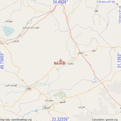
Maḩallāt GPS coordinates[2]
33° 54' 39.888" North, 50° 27' 11.412" East
| Map corner | latitude | longitude |
|---|---|---|
| Upper-left | 34.4926°, | 49.75005° |
| Center: | 33.91108°, | 50.45317° |
| Lower-right: | 33.32556°, | 51.1563° |
| Map W x H: | 129.8×129.8 km | = 80.7×80.7mi |
| max Lat: | 39.6482° ⇑54.2% North |
| Maḩallāt: | 33.91108° |
| min Lat: | ⇓45.8% South 25.2919° |
| min Long | Maḩallāt | max Long |
| 44.38416° | 50.45317° | 61.9965° |
| W 41.7%⇐ | ⇒58.3% E |
Elevation
Elevation of Maḩallāt is 1751 m = 5745 ft, and this is 702 m = 2303 ft above average elevation for this country.
| Max E: |
2564 m = 8412 ft | 16.1% |
| Maḩallāt | 1751 m 5745 ft | |
| Avg. | 1049 m = 3442 ft | |
Min E: |
-24 m = -79 ft | 83.9% |
See also: Iran elevation on elevation.city.
Geographical zone
Maḩallāt is located in North temperate zone (between Tropic of Cancer and the Arctic Circle). Distance of this Northern Tropic circle is 1164.6 km =723.6 mi to South.| Distance of | km | miles | from Maḩallāt |
|---|---|---|---|
| North Pole | 6236.5 | 3875.2 | to North |
| Arctic Circle | 3630.6 | 2255.9 | to North |
| Tropic Cancer | 1164.6 | 723.6 | to South |
| Equator | 3770.6 | 2342.9 | to South |


Nearby cities:
15 places around Maḩallāt: (largest is in red/bold)
• Alīgūdarz
90.2 km =56 mi,  231°
231°
• Arāk
72.5 km =45 mi,  286°
286°
• Aznā
105.2 km =65.4 mi,  241°
241°
• Delījān
23 km =14.3 mi,  67°
67°
• Dārān
102.6 km =63.8 mi,  182°
182°
• Farmahīn
96.7 km =60.1 mi,  312°
312°
• Golpāyegān
53.1 km =33 mi,  196°
196°
• Khomeyn
45.9 km =28.5 mi, 228°
• Khvānsār
77.8 km =48.3 mi,  189°
189°
• Kāshān
91.7 km =57 mi,  83°
83°
• Qom
89.9 km =55.9 mi,  25°
25°
• Shāzand
96.6 km =60 mi,  271°
271°
• Tafresh
95.8 km =59.5 mi,  335°
335°
• Ārān Bīdgol
96.3 km =59.8 mi, 80°
• Āshtīān
79.5 km =49.4 mi,  328°
328°
Sources, notices
• [Note1] Compared only with cities in Iran existing in our database
• [Src1] Map data: © OpenStreetMap contributors (CC-BY-SA)
• [Src2] Other city data from geonames.org with taken over terms of usage.
• [Src3] Geographical zone / Annual Mean Temperature by Robert A. Rohde @ Wikipedia
