Chabahar geodata
Chabahar (Sistan and Baluchestan) is a seat of a second-order administrative division; located in Iran in Asia/Tehran (GMT+3.5) time zone. With population of 47,287 people, there are 138 cities with bigger population in this country. Compared to other cities in Iran, 100% of cities are located further ↑North; 97.3% of cities are located further ←West and 89.1% of cities have higher elevation than Chabahar. Note1


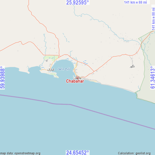
Chabahar GPS coordinates[2]
25° 17' 30.84" North, 60° 38' 34.8" East
| Map corner | latitude | longitude |
|---|---|---|
| Upper-left | 25.92595°, | 59.93988° |
| Center: | 25.2919°, | 60.643° |
| Lower-right: | 24.65452°, | 61.34613° |
| Map W x H: | 141.4×141.4 km | = 87.9×87.9mi |
| max Lat: | 39.6482° ⇑100% North |
| Chabahar: | 25.2919° |
| min Lat: | ⇓0% South 25.2919° |
| min Long | Chabahar | max Long |
| 44.38416° | 60.643° | 61.9965° |
| W 97.3%⇐ | ⇒2.7% E |
Elevation
Elevation of Chabahar is 18 m = 59 ft, and this is 1031 m = 3383 ft below average elevation for this country.
| Max E: |
2564 m = 8412 ft | 89.1% |
| Avg. | 1049 m = 3442 ft | |
| Chabahar | 18 m = 59 ft | |
Min E: |
-24 m = -79 ft | 10.9% |
See also: Chabahar elevation on elevation.city.
Geographical zone
Chabahar is located in North temperate zone (between Tropic of Cancer and the Arctic Circle). Distance of this Northern Tropic circle is 206.3 km =128.2 mi to South.| Distance of | km | miles | from Chabahar |
|---|---|---|---|
| North Pole | 7194.9 | 4470.7 | to North |
| Arctic Circle | 4589 | 2851.5 | to North |
| Tropic Cancer | 206.3 | 128.2 | to South |
| Equator | 2812.2 | 1747.4 | to South |


Nearby cities:
15 places around Chabahar: (largest is in red/bold)
• Dalgān
271.1 km =168.5 mi,  333°
333°
• Eslāmābād
401.7 km =249.6 mi,  319°
319°
• Fannūj
174.5 km =108.4 mi, 324°
• Iranshahr
212.5 km =132 mi,  1°
1°
• Jask
290.5 km =180.5 mi,  277°
277°
• Khāsh
330.6 km =205.4 mi,  9°
9°
• Konārak
25.6 km =15.9 mi,  287°
287°
• Manūjān
391.5 km =243.3 mi,  306°
306°
• Nīkshahr
112.4 km =69.8 mi,  337°
337°
• Qal‘eh Ganj
370.4 km =230.2 mi, 312°
• Qaşr-e Qand
106.9 km =66.4 mi, 5°
• Rāsak
129.5 km =80.5 mi,  35°
35°
• Sardasht
303.1 km =188.3 mi,  295°
295°
• Sūrān
259.5 km =161.2 mi,  31°
31°
• Zābolī
228.9 km =142.2 mi, 26°
Sources, notices
• [Note1] Compared only with cities in Iran existing in our database
• [Src1] Map data: © OpenStreetMap contributors (CC-BY-SA)
• [Src2] Other city data from geonames.org with taken over terms of usage.
• [Src3] Geographical zone / Annual Mean Temperature by Robert A. Rohde @ Wikipedia
