Karakol geodata
Karakol (Issyk-Kul) is a seat of a first-order administrative division; located in Kyrgyzstan in Asia/Bishkek (GMT+6) time zone. With population of 70,171 people, there are 3 cities with bigger population in this country. Compared to other cities in Kyrgyzstan, 76.2% of cities are located further ↓South; 98.8% of cities are located further ←West and 86.9% of cities have lower elevation than Karakol. Note1


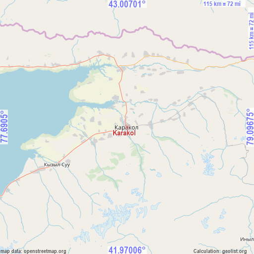
Karakol GPS coordinates[2]
42° 29' 26.448" North, 78° 23' 37.032" East
| Map corner | latitude | longitude |
|---|---|---|
| Upper-left | 43.00701°, | 77.6905° |
| Center: | 42.49068°, | 78.39362° |
| Lower-right: | 41.97006°, | 79.09675° |
| Map W x H: | 115.3×115.3 km | = 71.6×71.6mi |
| max Lat: | 42.89106° ⇑23.8% North |
| Karakol: | 42.49068° |
| min Lat: | ⇓76.2% South 39.55274° |
| min Long | Karakol | max Long |
| 69.3716° | 78.39362° | 78.52702° |
| W 98.8%⇐ | ⇒1.2% E |
Elevation
Elevation of Karakol is 1751 m = 5745 ft, and this is 549.6 m = 1803 ft above average elevation for this country.
| Max E: |
2638 m = 8655 ft | 13.1% |
| Karakol | 1751 m 5745 ft | |
| Avg. | 1201.4 m = 3942 ft | |
Min E: |
504 m = 1654 ft | 86.9% |
See also: Karakol elevation on elevation.city.
Geographical zone
Karakol is located in North temperate zone (between Tropic of Cancer and the Arctic Circle). Distance of this Northern Tropic circle is 2118.6 km =1316.4 mi to South.| Distance of | km | miles | from Karakol |
|---|---|---|---|
| North Pole | 5282.5 | 3282.4 | to North |
| Arctic Circle | 2676.7 | 1663.2 | to North |
| Tropic Cancer | 2118.6 | 1316.4 | to South |
| Equator | 4724.5 | 2935.7 | to South |


Nearby cities:
15 places around Karakol: (largest is in red/bold)
• Ak-Suu
11 km =6.8 mi,  84°
84°
• At-Bashi
260.2 km =161.7 mi,  235°
235°
• Balykchy
181 km =112.5 mi,  268°
268°
• Bokombayevskoye
122.4 km =76.1 mi,  250°
250°
• Cholpon-Ata
108.8 km =67.6 mi,  279°
279°
• Chuy
257 km =159.7 mi, 278°
• Ivanovka
274 km =170.3 mi, 279°
• Kadzhi-Say
107.2 km =66.6 mi, 248°
• Kemin
223.4 km =138.8 mi, 278°
• Kochkor
218.8 km =136 mi,  261°
261°
• Kyzyl-Suu
35.8 km =22.2 mi, 242°
• Naryn
231.1 km =143.6 mi, 239°
• Tokmok
255.8 km =158.9 mi, 278°
• Tossor
86.1 km =53.5 mi, 245°
• Tyup
26.4 km =16.4 mi,  354°
354°
Sources, notices
• [Note1] Compared only with cities in Kyrgyzstan existing in our database
• [Src1] Map data: © OpenStreetMap contributors (CC-BY-SA)
• [Src2] Other city data from geonames.org with taken over terms of usage.
• [Src3] Geographical zone / Annual Mean Temperature by Robert A. Rohde @ Wikipedia
