Volodarskoye geodata
Volodarskoye (Soltüstik Qazaqstan) is a populated place; located in Kazakhstan in Asia/Almaty (GMT+5) time zone. With population of 950 people, there are 264 cities with bigger population in this country. Compared to other cities in Kazakhstan, 88.9% of cities are located further ↓South; 68.9% of cities are located further →East and 68.9% of cities have higher elevation than Volodarskoye. Note1


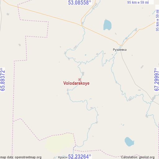
Volodarskoye GPS coordinates[2]
52° 39' 40.284" North, 66° 35' 48.624" East
| Map corner | latitude | longitude |
|---|---|---|
| Upper-left | 53.08558°, | 65.89372° |
| Center: | 52.66119°, | 66.59684° |
| Lower-right: | 52.23264°, | 67.29997° |
| Map W x H: | 94.8×94.8 km | = 58.9×58.9mi |
| max Lat: | 54.90596° ⇑11.1% North |
| Volodarskoye: | 52.66119° |
| min Lat: | ⇓88.9% South 40.66338° |
| min Long | Volodarskoye | max Long |
| 46.83361° | 66.59684° | 84.87144° |
| W 31.1%⇐ | ⇒68.9% E |
Elevation
Elevation of Volodarskoye is 189 m = 620 ft, and this is 167.5 m = 550 ft below average elevation for this country.
| Max E: |
1847 m = 6060 ft | 68.9% |
| Avg. | 356.5 m = 1170 ft | |
| Volodarskoye | 189 m = 620 ft | |
Min E: |
-26 m = -85 ft | 31.1% |
See also: Kazakhstan elevation on elevation.city.
Geographical zone
Volodarskoye is located in North temperate zone (between Tropic of Cancer and the Arctic Circle). Distance of this North polar circle is 1545.8 km =960.5 mi to North.| Distance of | km | miles | from Volodarskoye |
|---|---|---|---|
| North Pole | 4151.7 | 2579.7 | to North |
| Arctic Circle | 1545.8 | 960.5 | to North |
| Tropic Cancer | 3249.5 | 2019.1 | to South |
| Equator | 5855.4 | 3638.4 | to South |


Nearby cities:
15 places around Volodarskoye: (largest is in red/bold)
• Atbasar
152.2 km =94.6 mi,  128°
128°
• Atbasar
153.1 km =95.1 mi, 128°
• Balkashino
146.4 km =91 mi,  96°
96°
• Birlestik
155.8 km =96.8 mi,  48°
48°
• Derzhavīnsk
174.7 km =108.6 mi,  186°
186°
• Esil
79.6 km =49.5 mi, 189°
• Karasu
75 km =46.6 mi,  269°
269°
• Krasnogorskiy
46.5 km =28.9 mi, 186°
• Novoishimskiy
60.8 km =37.8 mi,  10°
10°
• Qusmuryn
135.7 km =84.3 mi,  260°
260°
• Sergeyevka
146 km =90.7 mi,  21°
21°
• Shantobe
109.1 km =67.8 mi, 102°
• Timiryazevo
121.2 km =75.3 mi,  356°
356°
• Volodarskoye
123 km =76.4 mi,  55°
55°
• Zhaqsy
96.8 km =60.1 mi,  149°
149°
Sources, notices
• [Note1] Compared only with cities in Kazakhstan existing in our database
• [Src1] Map data: © OpenStreetMap contributors (CC-BY-SA)
• [Src2] Other city data from geonames.org with taken over terms of usage.
• [Src3] Geographical zone / Annual Mean Temperature by Robert A. Rohde @ Wikipedia
