Atbasar geodata
Atbasar (Aqmola) is a populated place; located in Kazakhstan in Asia/Almaty (GMT+5) time zone. With population of 34,797 people, there are 46 cities with bigger population in this country. Compared to other cities in Kazakhstan, 81.1% of cities are located further ↓South; 63% of cities are located further →East and 54.4% of cities have higher elevation than Atbasar. Note1


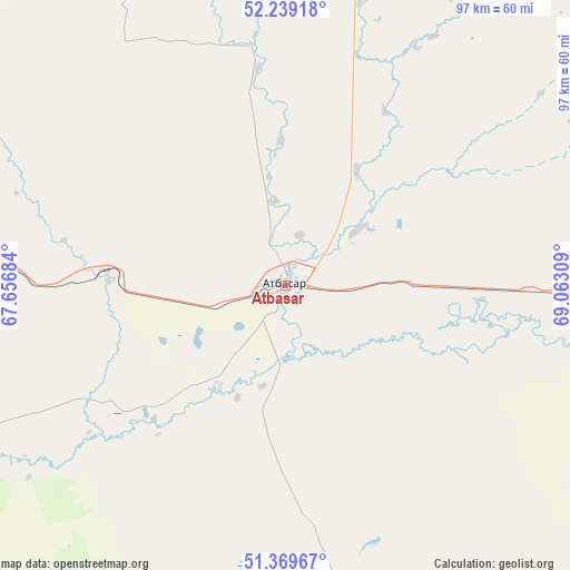
Atbasar GPS coordinates[2]
51° 48' 23.472" North, 68° 21' 35.856" East
| Map corner | latitude | longitude |
|---|---|---|
| Upper-left | 52.23918°, | 67.65684° |
| Center: | 51.80652°, | 68.35996° |
| Lower-right: | 51.36967°, | 69.06309° |
| Map W x H: | 96.7×96.7 km | = 60.1×60.1mi |
| max Lat: | 54.90596° ⇑18.9% North |
| Atbasar: | 51.80652° |
| min Lat: | ⇓81.1% South 40.66338° |
| min Long | Atbasar | max Long |
| 46.83361° | 68.35996° | 84.87144° |
| W 37%⇐ | ⇒63% E |
Elevation
Elevation of Atbasar is 283 m = 928 ft, and this is 73.5 m = 241 ft below average elevation for this country.
| Max E: |
1847 m = 6060 ft | 54.4% |
| Avg. | 356.5 m = 1170 ft | |
| Atbasar | 283 m = 928 ft | |
Min E: |
-26 m = -85 ft | 45.6% |
See also: Kazakhstan elevation on elevation.city.
Geographical zone
Atbasar is located in North temperate zone (between Tropic of Cancer and the Arctic Circle). Distance of this North polar circle is 1640.8 km =1019.5 mi to North.| Distance of | km | miles | from Atbasar |
|---|---|---|---|
| North Pole | 4246.7 | 2638.8 | to North |
| Arctic Circle | 1640.8 | 1019.5 | to North |
| Tropic Cancer | 3154.4 | 1960.1 | to South |
| Equator | 5760.3 | 3579.3 | to South |


Nearby cities:
15 places around Atbasar: (largest is in red/bold)
• Akkol
178.7 km =111 mi,  83°
83°
• Astrakhan
103.7 km =64.4 mi,  107°
107°
• Atbasar
2 km =1.2 mi,  248°
248°
• Balkashino
83.5 km =51.9 mi,  18°
18°
• Derzhavīnsk
162 km =100.7 mi,  240°
240°
• Egindiköl
114.1 km =70.9 mi,  137°
137°
• Esil
135 km =83.9 mi,  277°
277°
• Kokshetau
178.6 km =111 mi, 23°
• Krasnogorskiy
135 km =83.9 mi,  291°
291°
• Makinsk
167.7 km =104.2 mi,  56°
56°
• Shantobe
73.1 km =45.4 mi,  350°
350°
• Shchuchinsk
176.6 km =109.7 mi,  44°
44°
• Volodarskoye
153.1 km =95.1 mi,  308°
308°
• Volodarskoye
166.1 km =103.2 mi, 354°
• Zhaqsy
72.6 km =45.1 mi, 279°
Sources, notices
• [Note1] Compared only with cities in Kazakhstan existing in our database
• [Src1] Map data: © OpenStreetMap contributors (CC-BY-SA)
• [Src2] Other city data from geonames.org with taken over terms of usage.
• [Src3] Geographical zone / Annual Mean Temperature by Robert A. Rohde @ Wikipedia
