Aqbaqay geodata
Aqbaqay (Zhambyl) is a populated place; located in Kazakhstan in Asia/Almaty (GMT+5) time zone. With population of 1,804 people, there are 249 cities with bigger population in this country. Compared to other cities in Kazakhstan, 73.3% of cities are located further ↑North; 61.1% of cities are located further ←West and 70.7% of cities have lower elevation than Aqbaqay. Note1


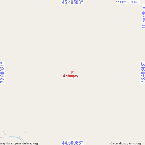
Aqbaqay GPS coordinates[2]
45° 0' 0" North, 72° 46' 59.988" East
| Map corner | latitude | longitude |
|---|---|---|
| Upper-left | 45.49503°, | 72.08021° |
| Center: | 45°, | 72.78333° |
| Lower-right: | 44.50066°, | 73.48646° |
| Map W x H: | 110.6×110.6 km | = 68.7×68.7mi |
| max Lat: | 54.90596° ⇑73.3% North |
| Aqbaqay: | 45° |
| min Lat: | ⇓26.7% South 40.66338° |
| min Long | Aqbaqay | max Long |
| 46.83361° | 72.78333° | 84.87144° |
| W 61.1%⇐ | ⇒38.9% E |
Elevation
Elevation of Aqbaqay is 474 m = 1555 ft, and this is 117.5 m = 385 ft above average elevation for this country.
| Max E: |
1847 m = 6060 ft | 29.3% |
| Aqbaqay | 474 m 1555 ft | |
| Avg. | 356.5 m = 1170 ft | |
Min E: |
-26 m = -85 ft | 70.7% |
See also: Kazakhstan elevation on elevation.city.
Geographical zone
Aqbaqay is located in North temperate zone (between Tropic of Cancer and the Arctic Circle). Distance of this Northern Tropic circle is 2397.6 km =1489.8 mi to South.| Distance of | km | miles | from Aqbaqay |
|---|---|---|---|
| North Pole | 5003.5 | 3109 | to North |
| Arctic Circle | 2397.6 | 1489.8 | to North |
| Tropic Cancer | 2397.6 | 1489.8 | to South |
| Equator | 5003.5 | 3109 | to South |


Nearby cities:
15 places around Aqbaqay: (largest is in red/bold)
• Chu
173.6 km =107.9 mi,  153°
153°
• Gülshat
218.4 km =135.7 mi,  33°
33°
• Khantaū
117.5 km =73 mi,  136°
136°
• Lugovoy
228.8 km =142.2 mi,  180°
180°
• Lugovoye
232.4 km =144.4 mi, 181°
• Merke
239 km =148.5 mi,  172°
172°
• Moyynkum
80.5 km =50 mi, 171°
• Moyynty
251 km =156 mi,  10°
10°
• Mynaral
84.4 km =52.4 mi,  56°
56°
• Oytal
236.1 km =146.7 mi, 170°
• Priozersk
135.2 km =84 mi, 31°
• Sarykemer
244.9 km =152.2 mi,  204°
204°
• Saryshaghan
140.4 km =87.2 mi, 27°
• Shyghanaq
219.8 km =136.6 mi,  265°
265°
• Ülken
96.7 km =60.1 mi,  75°
75°
Sources, notices
• [Note1] Compared only with cities in Kazakhstan existing in our database
• [Src1] Map data: © OpenStreetMap contributors (CC-BY-SA)
• [Src2] Other city data from geonames.org with taken over terms of usage.
• [Src3] Geographical zone / Annual Mean Temperature by Robert A. Rohde @ Wikipedia
