Dailekh geodata
Dailekh (Mid Western) is a seat of a third-order administrative division; located in Nepal in Asia/Kathmandu (GMT+5.75) time zone. With population of 20,908 people, there are 36 cities with bigger population in this country. Compared to other cities in Nepal, 87.8% of cities are located further ↓South; 85.1% of cities are located further →East and 59.5% of cities have lower elevation than Dailekh. Note1


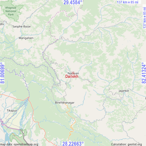
Dailekh GPS coordinates[2]
28° 50' 39.624" North, 81° 42' 36.396" East
| Map corner | latitude | longitude |
|---|---|---|
| Upper-left | 29.4584°, | 81.00699° |
| Center: | 28.84434°, | 81.71011° |
| Lower-right: | 28.22663°, | 82.41324° |
| Map W x H: | 137×137 km | = 85.1×85.1mi |
| max Lat: | 30.04651° ⇑12.2% North |
| Dailekh: | 28.84434° |
| min Lat: | ⇓87.8% South 26.45505° |
| min Long | Dailekh | max Long |
| 80.17715° | 81.71011° | 88.09436° |
| W 14.9%⇐ | ⇒85.1% E |
Elevation
Elevation of Dailekh is 1307 m = 4288 ft, and this is 131.8 m = 432 ft above average elevation for this country.
| Max E: |
5251 m = 17228 ft | 40.5% |
| Dailekh | 1307 m 4288 ft | |
| Avg. | 1175.2 m = 3856 ft | |
Min E: |
72 m = 236 ft | 59.5% |
See also: Nepal elevation on elevation.city.
Geographical zone
Dailekh is located in North temperate zone (between Tropic of Cancer and the Arctic Circle). Distance of this Northern Tropic circle is 601.3 km =373.6 mi to South.| Distance of | km | miles | from Dailekh |
|---|---|---|---|
| North Pole | 6799.9 | 4225.3 | to North |
| Arctic Circle | 4194 | 2606 | to North |
| Tropic Cancer | 601.3 | 373.6 | to South |
| Equator | 3207.2 | 1992.9 | to South |


Nearby cities:
15 places around Dailekh: (largest is in red/bold)
• Achhām
46 km =28.6 mi,  299°
299°
• Bardiyā
69.8 km =43.4 mi,  209°
209°
• Besisahar
96.5 km =60 mi,  134°
134°
• Bhojpur
101.2 km =62.9 mi,  176°
176°
• Birendranagar
28 km =17.4 mi,  195°
195°
• Dadeldhurā
120.8 km =75.1 mi,  294°
294°
• Dhangaḍhi̇̄
110.3 km =68.5 mi,  261°
261°
• Dipayal
88 km =54.7 mi, 301°
• Gulariyā
79.4 km =49.3 mi, 206°
• Jumla
66.4 km =41.3 mi,  43°
43°
• Nepalgunj
88.8 km =55.2 mi,  185°
185°
• Salyān
68.6 km =42.6 mi,  139°
139°
• Surkhet
37 km =23 mi,  169°
169°
• Tulsīpur
97.9 km =60.8 mi, 144°
• Ṭikāpur
67.6 km =42 mi,  238°
238°
Sources, notices
• [Note1] Compared only with cities in Nepal existing in our database
• [Src1] Map data: © OpenStreetMap contributors (CC-BY-SA)
• [Src2] Other city data from geonames.org with taken over terms of usage.
• [Src3] Geographical zone / Annual Mean Temperature by Robert A. Rohde @ Wikipedia
