Mortí geodata
Mortí (Darién) is a seat of a third-order administrative division; located in Panama in America/Panama (GMT-5) time zone. With population of 567 people, there are 429 cities with bigger population in this country. Compared to other cities in Panama, 76.1% of cities are located further ↓South; 97.5% of cities are located further ←West and 59.3% of cities have higher elevation than Mortí. Note1


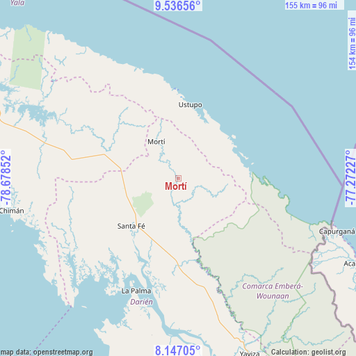
Mortí GPS coordinates[2]
8° 50' 32.856" North, 77° 58' 31.404" West
| Map corner | latitude | longitude |
|---|---|---|
| Upper-left | 9.53656°, | -78.67852° |
| Center: | 8.84246°, | -77.97539° |
| Lower-right: | 8.14705°, | -77.27227° |
| Map W x H: | 154.5×154.5 km | = 96×96mi |
| max Lat: | 9.60898° ⇑23.9% North |
| Mortí: | 8.84246° |
| min Lat: | ⇓76.1% South 7.26534° |
| min Long | Mortí | max Long |
| -82.91275° | -77.97539° | -77.38965° |
| W 97.5%⇐ | ⇒2.5% E |
Elevation
Elevation of Mortí is 55 m = 180 ft, and this is 117.1 m = 384 ft below average elevation for this country.
| Max E: |
2103 m = 6900 ft | 59.3% |
| Avg. | 172.1 m = 565 ft | |
| Mortí | 55 m = 180 ft | |
Min E: |
-1 m = -3 ft | 40.7% |
See also: Panama elevation on elevation.city.
Geographical zone
Mortí is located in North Torrid zone (between Equator and Tropic of Cancer). Distance of Equator is 983.2 km =610.9 mi to South.| Distance of | km | miles | from Mortí |
|---|---|---|---|
| North Pole | 9023.9 | 5607.2 | to North |
| Arctic Circle | 6418 | 3988 | to North |
| Tropic Cancer | 1622.7 | 1008.3 | to North |
| Equator | 983.2 | 610.9 | to South |


Nearby cities:
15 places around Mortí: (largest is in red/bold)
• Achutupo
39.6 km =24.6 mi,  358°
358°
• Agua Fría Número Uno
24.5 km =15.2 mi,  274°
274°
• Cañazas
28.1 km =17.5 mi,  282°
282°
• Coetupo
31.7 km =19.7 mi,  78°
78°
• Cucunatí
42.9 km =26.7 mi,  226°
226°
• Metetí
38.2 km =23.7 mi,  180°
180°
• Mortí
6.5 km =4 mi, 79°
• Mulatupo
27.3 km =17 mi,  64°
64°
• Quebrada Honda
27.6 km =17.1 mi,  213°
213°
• Santa Fé
29.2 km =18.1 mi,  224°
224°
• Tubualá
29 km =18 mi,  72°
72°
• Ualá
18.5 km =11.5 mi,  329°
329°
• Ustupo
32.5 km =20.2 mi,  9°
9°
• Villa Darién
33.2 km =20.6 mi,  186°
186°
• Zapallal
27.4 km =17 mi, 218°
Sources, notices
• [Note1] Compared only with cities in Panama existing in our database
• [Src1] Map data: © OpenStreetMap contributors (CC-BY-SA)
• [Src2] Other city data from geonames.org with taken over terms of usage.
• [Src3] Geographical zone / Annual Mean Temperature by Robert A. Rohde @ Wikipedia
