Al Muwayh geodata
Al Muwayh (Makkah) is a populated place; located in Saudi Arabia in Asia/Riyadh (GMT+3) time zone. With population of 7,364 people, there are 79 cities with bigger population in this country. Compared to other cities in Saudi Arabia, 73.2% of cities are located further ↑North; 73.2% of cities are located further →East and 83.5% of cities have lower elevation than Al Muwayh. Note1


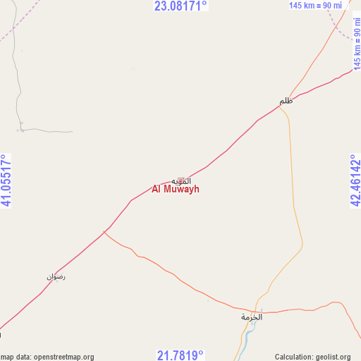
Al Muwayh GPS coordinates[2]
22° 25' 59.988" North, 41° 45' 29.844" East
| Map corner | latitude | longitude |
|---|---|---|
| Upper-left | 23.08171°, | 41.05517° |
| Center: | 22.43333°, | 41.75829° |
| Lower-right: | 21.7819°, | 42.46142° |
| Map W x H: | 144.5×144.5 km | = 89.8×89.8mi |
| max Lat: | 31.67252° ⇑73.2% North |
| Al Muwayh: | 22.43333° |
| min Lat: | ⇓26.8% South 16.57946° |
| min Long | Al Muwayh | max Long |
| 35.69014° | 41.75829° | 54.09599° |
| W 26.8%⇐ | ⇒73.2% E |
Elevation
Elevation of Al Muwayh is 975 m = 3199 ft, and this is 453.6 m = 1488 ft above average elevation for this country.
| Max E: |
2385 m = 7825 ft | 16.5% |
| Al Muwayh | 975 m 3199 ft | |
| Avg. | 521.4 m = 1711 ft | |
Min E: |
3 m = 10 ft | 83.5% |
See also: Saudi Arabia elevation on elevation.city.
Geographical zone
Al Muwayh is located in North Torrid zone (between Equator and Tropic of Cancer). Distance of this Northern Tropic circle is 111.6 km =69.3 mi to North.| Distance of | km | miles | from Al Muwayh |
|---|---|---|---|
| North Pole | 7512.7 | 4668.2 | to North |
| Arctic Circle | 4906.8 | 3048.9 | to North |
| Tropic Cancer | 111.6 | 69.3 | to North |
| Equator | 2494.4 | 1549.9 | to South |


Nearby cities:
15 places around Al Muwayh: (largest is in red/bold)
• Afif
202.1 km =125.6 mi,  35°
35°
• Al Bahah
270.8 km =168.3 mi,  186°
186°
• Al Hadā
192.6 km =119.7 mi,  232°
232°
• Al Jumūm
230.9 km =143.5 mi,  246°
246°
• Al Mindak
257.6 km =160.1 mi, 191°
• Alrmtheiah
284.3 km =176.7 mi,  25°
25°
• Ash Shafā
212.6 km =132.1 mi,  224°
224°
• Jeddah
281.9 km =175.2 mi, 249°
• Mecca
228.6 km =142 mi,  240°
240°
• Medina
314.7 km =195.5 mi,  315°
315°
• Qal‘at Bīshah
284.4 km =176.7 mi,  162°
162°
• Rābigh
282.5 km =175.5 mi,  278°
278°
• Tabālah
284 km =176.5 mi,  166°
166°
• Ta’if
189.5 km =117.7 mi, 226°
• Turabah
136.2 km =84.6 mi, 185°
Sources, notices
• [Note1] Compared only with cities in Saudi Arabia existing in our database
• [Src1] Map data: © OpenStreetMap contributors (CC-BY-SA)
• [Src2] Other city data from geonames.org with taken over terms of usage.
• [Src3] Geographical zone / Annual Mean Temperature by Robert A. Rohde @ Wikipedia
