Goléré geodata
Goléré (Saint-Louis) is a populated place; located in Senegal in Africa/Dakar (GMT+0) time zone. With population of 5,461 people, there are 49 cities with bigger population in this country. Compared to other cities in Senegal, 95% of cities are located further ↓South; 83.3% of cities are located further ←West and 53.3% of cities have higher elevation than Goléré. Note1


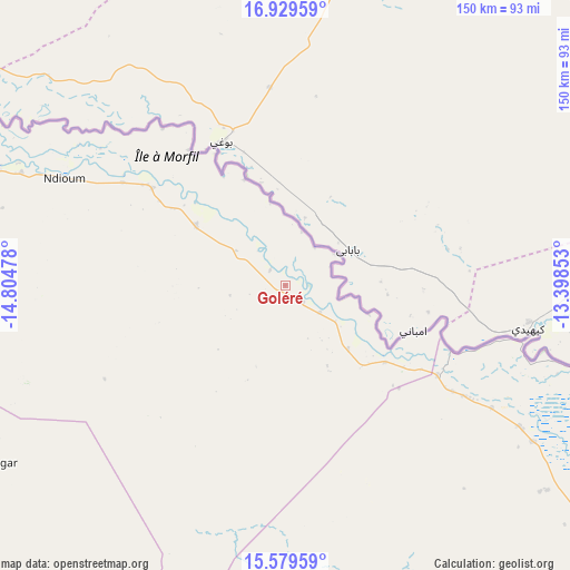
Goléré GPS coordinates[2]
16° 15' 20.7" North, 14° 6' 5.94" West
| Map corner | latitude | longitude |
|---|---|---|
| Upper-left | 16.92959°, | -14.80478° |
| Center: | 16.25575°, | -14.10165° |
| Lower-right: | 15.57959°, | -13.39853° |
| Map W x H: | 150.1×150.1 km | = 93.3×93.3mi |
| max Lat: | 16.51293° ⇑5% North |
| Goléré: | 16.25575° |
| min Lat: | ⇓95% South 12.485° |
| min Long | Goléré | max Long |
| -17.47581° | -14.10165° | -12.18076° |
| W 83.3%⇐ | ⇒16.7% E |
Elevation
Elevation of Goléré is 18 m = 59 ft, and this is 6.5 m = 21 ft below average elevation for this country.
| Max E: |
127 m = 417 ft | 53.3% |
| Avg. | 24.5 m = 80 ft | |
| Goléré | 18 m = 59 ft | |
Min E: |
0 m = 0 ft | 46.7% |
See also: Senegal elevation on elevation.city.
Geographical zone
Goléré is located in North Torrid zone (between Equator and Tropic of Cancer). Distance of this Northern Tropic circle is 798.4 km =496.1 mi to North.| Distance of | km | miles | from Goléré |
|---|---|---|---|
| North Pole | 8199.6 | 5095 | to North |
| Arctic Circle | 5593.7 | 3475.8 | to North |
| Tropic Cancer | 798.4 | 496.1 | to North |
| Equator | 1807.5 | 1123.1 | to South |


Nearby cities:
15 places around Goléré: (largest is in red/bold)
• Dara
178.7 km =111 mi,  235°
235°
• Diawara
216 km =134.2 mi,  129°
129°
• Kanel
130.4 km =81 mi, 130°
• Louga
237.7 km =147.7 mi,  252°
252°
• Matam
112.4 km =69.8 mi, 126°
• Ndibène Dahra
179.3 km =111.4 mi, 235°
• Ndioum
64.8 km =40.3 mi,  296°
296°
• Ouro Sogui
110.3 km =68.5 mi, 130°
• Polel Diaoubé
161.2 km =100.2 mi, 133°
• Ranérou
107.2 km =66.6 mi,  172°
172°
• Richard-Toll
172.2 km =107 mi,  277°
277°
• Rosso
182 km =113.1 mi, 275°
• Sémé
171.1 km =106.3 mi, 133°
• Touba
246.7 km =153.3 mi,  230°
230°
• Waoundé
172 km =106.9 mi, 129°
Sources, notices
• [Note1] Compared only with cities in Senegal existing in our database
• [Src1] Map data: © OpenStreetMap contributors (CC-BY-SA)
• [Src2] Other city data from geonames.org with taken over terms of usage.
• [Src3] Geographical zone / Annual Mean Temperature by Robert A. Rohde @ Wikipedia
