Mao geodata
Mao (Kanem) is a seat of a first-order administrative division; located in Chad in Africa/Ndjamena (GMT+1) time zone. With population of 18,031 people, there are 16 cities with bigger population in this country. Compared to other cities in Chad, 83% of cities are located further ↓South; 89.4% of cities are located further →East and 66% of cities have higher elevation than Mao. Note1


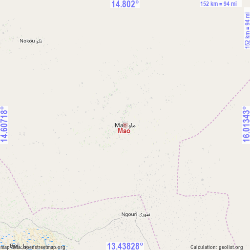
Mao GPS coordinates[2]
14° 7' 16.176" North, 15° 18' 37.08" East
| Map corner | latitude | longitude |
|---|---|---|
| Upper-left | 14.802°, | 14.60718° |
| Center: | 14.12116°, | 15.3103° |
| Lower-right: | 13.43828°, | 16.01343° |
| Map W x H: | 151.6×151.6 km | = 94.2×94.2mi |
| max Lat: | 21.8375° ⇑17% North |
| Mao: | 14.12116° |
| min Lat: | ⇓83% South 8.26681° |
| min Long | Mao | max Long |
| 14.1539° | 15.3103° | 22.84308° |
| W 10.6%⇐ | ⇒89.4% E |
Elevation
Elevation of Mao is 339 m = 1112 ft, and this is 98.3 m = 323 ft below average elevation for this country.
| Max E: |
1046 m = 3432 ft | 66% |
| Avg. | 437.3 m = 1435 ft | |
| Mao | 339 m = 1112 ft | |
Min E: |
242 m = 794 ft | 34% |
See also: Chad elevation on elevation.city.
Geographical zone
Mao is located in North Torrid zone (between Equator and Tropic of Cancer). Distance of this Northern Tropic circle is 1035.8 km =643.6 mi to North.| Distance of | km | miles | from Mao |
|---|---|---|---|
| North Pole | 8436.9 | 5242.4 | to North |
| Arctic Circle | 5831 | 3623.2 | to North |
| Tropic Cancer | 1035.8 | 643.6 | to North |
| Equator | 1570.1 | 975.6 | to South |


Nearby cities:
15 places around Mao: (largest is in red/bold)
• Ati
342 km =212.5 mi,  107°
107°
• Bitkine
394.4 km =245.1 mi,  127°
127°
• Bokoro
270.9 km =168.3 mi,  135°
135°
• Bol
97.2 km =60.4 mi,  221°
221°
• Bongor
427.1 km =265.4 mi,  179°
179°
• Dourbali
264.4 km =164.3 mi,  166°
166°
• Guelendeng
357.1 km =221.9 mi, 175°
• Massaguet
183.5 km =114 mi, 175°
• Massakory
133.1 km =82.7 mi,  160°
160°
• Massenya
316.2 km =196.5 mi, 162°
• Mongo
424.9 km =264 mi,  120°
120°
• Moussoro
138 km =85.7 mi, 112°
• N'Djamena
225.8 km =140.3 mi,  187°
187°
• Ngama
328.7 km =204.2 mi, 142°
• Vadanakallu
122.2 km =75.9 mi,  273°
273°
Sources, notices
• [Note1] Compared only with cities in Chad existing in our database
• [Src1] Map data: © OpenStreetMap contributors (CC-BY-SA)
• [Src2] Other city data from geonames.org with taken over terms of usage.
• [Src3] Geographical zone / Annual Mean Temperature by Robert A. Rohde @ Wikipedia
