Nakonde geodata
Nakonde (Muchinga) is a populated place; located in Zambia in Africa/Lusaka (GMT+2) time zone. With population of 10,652 people, there are 39 cities with bigger population in this country. Compared to other cities in Zambia, 95.5% of cities are located further ↓South; 97% of cities are located further ←West and 98.5% of cities have lower elevation than Nakonde. Note1


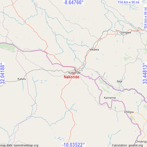
Nakonde GPS coordinates[2]
9° 20' 31.668" South, 32° 44' 42" East
| Map corner | latitude | longitude |
|---|---|---|
| Upper-left | -8.64766°, | 32.04188° |
| Center: | -9.34213°, | 32.745° |
| Lower-right: | -10.03522°, | 33.44813° |
| Map W x H: | 154.3×154.3 km | = 95.9×95.9mi |
| max Lat: | -8.46887° ⇑4.5% North |
| Nakonde: | -9.34213° |
| min Lat: | ⇓95.5% South -17.84194° |
| min Long | Nakonde | max Long |
| 22.67926° | 32.745° | 33.1782° |
| W 97%⇐ | ⇒3% E |
Elevation
Elevation of Nakonde is 1589 m = 5213 ft, and this is 445.6 m = 1462 ft above average elevation for this country.
| Max E: |
1622 m = 5322 ft | 1.5% |
| Nakonde | 1589 m 5213 ft | |
| Avg. | 1143.4 m = 3751 ft | |
Min E: |
328 m = 1076 ft | 98.5% |
See also: Zambia elevation on elevation.city.
Geographical zone
Nakonde is located in South Torrid zone (between Equator and Tropic of Capricorn). Distance of Equator is 1038.7 km =645.4 mi to North.| Distance of | km | miles | from Nakonde |
|---|---|---|---|
| Equator | 1038.7 | 645.4 | to North |
| Tropic Capricorn | 1567.2 | 973.8 | to South |
| Antarctic Circle | 6362.4 | 3953.4 | to South |
| South Pole | 8968.3 | 5572.6 | to South |


Nearby cities:
15 places around Nakonde: (largest is in red/bold)
• Chama
212.7 km =132.2 mi,  167°
167°
• Chinsali
151.9 km =94.4 mi,  208°
208°
• Isoka
91.8 km =57 mi,  187°
187°
• Kaputa
352.3 km =218.9 mi,  285°
285°
• Kasama
196.8 km =122.3 mi,  240°
240°
• Kataba
429.6 km =266.9 mi,  228°
228°
• Kawambwa
405 km =251.7 mi,  262°
262°
• Lundazi
331.5 km =206 mi, 171°
• Luwingu
325.2 km =202.1 mi,  251°
251°
• Mbala
161.4 km =100.3 mi, 290°
• Mpika
311 km =193.2 mi, 207°
• Mporokoso
287.5 km =178.6 mi,  269°
269°
• Mpulungu
190.3 km =118.2 mi, 289°
• Mungwi
176.8 km =109.9 mi, 238°
• Samfya
415 km =257.9 mi, 237°
Sources, notices
• [Note1] Compared only with cities in Zambia existing in our database
• [Src1] Map data: © OpenStreetMap contributors (CC-BY-SA)
• [Src2] Other city data from geonames.org with taken over terms of usage.
• [Src3] Geographical zone / Annual Mean Temperature by Robert A. Rohde @ Wikipedia
