Kaputa geodata
Kaputa (Northern) is a populated place; located in Zambia in Africa/Lusaka (GMT+2) time zone. With population of 2,683 people, there are 64 cities with bigger population in this country. Compared to other cities in Zambia, 100% of cities are located further ↓South; 71.2% of cities are located further ←West and 87.9% of cities have higher elevation than Kaputa. Note1


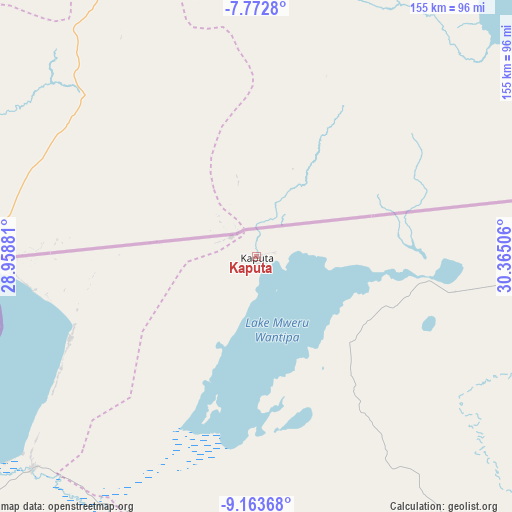
Kaputa GPS coordinates[2]
8° 28' 7.932" South, 29° 39' 42.948" East
| Map corner | latitude | longitude |
|---|---|---|
| Upper-left | -7.7728°, | 28.95881° |
| Center: | -8.46887°, | 29.66193° |
| Lower-right: | -9.16368°, | 30.36506° |
| Map W x H: | 154.7×154.7 km | = 96.1×96.1mi |
| max Lat: | -8.46887° ⇑0% North |
| Kaputa: | -8.46887° |
| min Lat: | ⇓100% South -17.84194° |
| min Long | Kaputa | max Long |
| 22.67926° | 29.66193° | 33.1782° |
| W 71.2%⇐ | ⇒28.8% E |
Elevation
Elevation of Kaputa is 950 m = 3117 ft, and this is 193.4 m = 635 ft below average elevation for this country.
| Max E: |
1622 m = 5322 ft | 87.9% |
| Avg. | 1143.4 m = 3751 ft | |
| Kaputa | 950 m = 3117 ft | |
Min E: |
328 m = 1076 ft | 12.1% |
See also: Zambia elevation on elevation.city.
Geographical zone
Kaputa is located in South Torrid zone (between Equator and Tropic of Capricorn). Distance of Equator is 941.7 km =585.1 mi to North.| Distance of | km | miles | from Kaputa |
|---|---|---|---|
| Equator | 941.7 | 585.1 | to North |
| Tropic Capricorn | 1664.3 | 1034.1 | to South |
| Antarctic Circle | 6459.5 | 4013.7 | to South |
| South Pole | 9065.4 | 5633 | to South |


Nearby cities:
15 places around Kaputa: (largest is in red/bold)
• Chinsali
351.4 km =218.3 mi,  130°
130°
• Isoka
376.4 km =233.9 mi,  119°
119°
• Kasama
255.7 km =158.9 mi,  139°
139°
• Kataba
379.9 km =236.1 mi,  177°
177°
• Kawambwa
160.4 km =99.7 mi,  203°
203°
• Luwingu
201.5 km =125.2 mi,  171°
171°
• Mansa
315.1 km =195.8 mi, 195°
• Mbala
191.8 km =119.2 mi,  102°
102°
• Mporokoso
112.6 km =70 mi,  153°
153°
• Mpulungu
162.9 km =101.2 mi, 101°
• Mungwi
266.5 km =165.6 mi, 135°
• Mwense
237.8 km =147.8 mi,  206°
206°
• Nakonde
352.3 km =218.9 mi,  105°
105°
• Nchelenge
141 km =87.6 mi,  226°
226°
• Samfya
322.2 km =200.2 mi, 182°
Sources, notices
• [Note1] Compared only with cities in Zambia existing in our database
• [Src1] Map data: © OpenStreetMap contributors (CC-BY-SA)
• [Src2] Other city data from geonames.org with taken over terms of usage.
• [Src3] Geographical zone / Annual Mean Temperature by Robert A. Rohde @ Wikipedia
