March geodata
March (Badakhshan) is a seat of a second-order administrative division; located in Afghanistan in Asia/Kabul (GMT+4.5) time zone. In our database, there are 93 cities with bigger population. Compared to other cities in Afghanistan, 98.4% of cities are located further ↓South; 87.8% of cities are located further ←West and 59.5% of cities have lower elevation than March. Note1


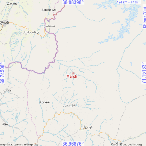
March GPS coordinates[2]
37° 31' 42.42" North, 70° 26' 53.52" East
| Map corner | latitude | longitude |
|---|---|---|
| Upper-left | 38.08398°, | 69.74508° |
| Center: | 37.52845°, | 70.4482° |
| Lower-right: | 36.96876°, | 71.15133° |
| Map W x H: | 124×124 km | = 77.1×77.1mi |
| max Lat: | 38.4435° ⇑1.6% North |
| March: | 37.52845° |
| min Lat: | ⇓98.4% South 30.15° |
| min Long | March | max Long |
| 61.06667° | 70.4482° | 72.318° |
| W 87.8%⇐ | ⇒12.2% E |
Elevation
Elevation of March is 1607 m = 5272 ft, and this is 188.6 m = 619 ft above average elevation for this country.
| Max E: |
3068 m = 10066 ft | 40.5% |
| March | 1607 m 5272 ft | |
| Avg. | 1418.4 m = 4654 ft | |
Min E: |
254 m = 833 ft | 59.5% |
See also: Afghanistan elevation on elevation.city.
Geographical zone
March is located in North temperate zone (between Tropic of Cancer and the Arctic Circle). Distance of this Northern Tropic circle is 1566.9 km =973.6 mi to South.| Distance of | km | miles | from March |
|---|---|---|---|
| North Pole | 5834.3 | 3625.3 | to North |
| Arctic Circle | 3228.4 | 2006 | to North |
| Tropic Cancer | 1566.9 | 973.6 | to South |
| Equator | 4172.8 | 2592.9 | to South |


Nearby cities:
15 places around March: (largest is in red/bold)
• Bahārak
71.2 km =44.2 mi,  145°
145°
• Bāzār-e Tashkān
73.5 km =45.7 mi,  191°
191°
• Chāh Āb
57.8 km =35.9 mi,  255°
255°
• Darāyim
73.8 km =45.9 mi,  184°
184°
• Deh Khwāhān
44.9 km =27.9 mi,  333°
333°
• Fayzabad
47.2 km =29.3 mi,  165°
165°
• Jurm
81.3 km =50.5 mi,  155°
155°
• Mashhad
84.9 km =52.8 mi,  201°
201°
• Pas Pul
16 km =9.9 mi,  112°
112°
• Qal‘ah-ye Kūf
57.1 km =35.5 mi,  2°
2°
• Rustāq
70.6 km =43.9 mi,  230°
230°
• Shahrān
66.2 km =41.1 mi, 157°
• Yangī Qal‘ah
74.2 km =46.1 mi, 264°
• Zīrakī
12 km =7.5 mi,  53°
53°
• Ḩāfiz̧ Moghul
52.7 km =32.7 mi, 184°
Sources, notices
• [Note1] Compared only with cities in Afghanistan existing in our database
• [Src1] Map data: © OpenStreetMap contributors (CC-BY-SA)
• [Src2] Other city data from geonames.org with taken over terms of usage.
• [Src3] Geographical zone / Annual Mean Temperature by Robert A. Rohde @ Wikipedia
