Huambo geodata
Huambo is a seat of a first-order administrative division; located in Angola in Africa/Luanda (GMT+1) time zone. With population of 226,145 people, there are 2 cities with bigger population in this country. Compared to other cities in Angola, 77.8% of cities are located further ↑North; 63.9% of cities are located further ←West and 88.9% of cities have lower elevation than Huambo. Note1


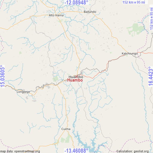
Huambo GPS coordinates[2]
12° 46' 33.996" South, 15° 44' 21.012" East
| Map corner | latitude | longitude |
|---|---|---|
| Upper-left | -12.08948°, | 15.03605° |
| Center: | -12.77611°, | 15.73917° |
| Lower-right: | -13.46088°, | 16.4423° |
| Map W x H: | 152.5×152.5 km | = 94.8×94.8mi |
| max Lat: | -5.55° ⇑77.8% North |
| Huambo: | -12.77611° |
| min Lat: | ⇓22.2% South -17.06667° |
| min Long | Huambo | max Long |
| 12.15222° | 15.73917° | 22.22466° |
| W 63.9%⇐ | ⇒36.1% E |
Elevation
Elevation of Huambo is 1716 m = 5630 ft, and this is 747.1 m = 2451 ft above average elevation for this country.
| Max E: |
1895 m = 6217 ft | 11.1% |
| Huambo | 1716 m 5630 ft | |
| Avg. | 968.9 m = 3179 ft | |
Min E: |
1 m = 3 ft | 88.9% |
See also: Huambo elevation on elevation.city.
Geographical zone
Huambo is located in South Torrid zone (between Equator and Tropic of Capricorn). Distance of this Southern Tropic circle is 1185.3 km =736.5 mi to South.| Distance of | km | miles | from Huambo |
|---|---|---|---|
| Equator | 1420.6 | 882.7 | to North |
| Tropic Capricorn | 1185.3 | 736.5 | to South |
| Antarctic Circle | 5980.6 | 3716.2 | to South |
| South Pole | 8586.5 | 5335.4 | to South |


Nearby cities:
15 places around Huambo: (largest is in red/bold)
• Benguela
254.1 km =157.9 mi,  275°
275°
• Caconda
128.9 km =80.1 mi,  214°
214°
• Camacupa
207.4 km =128.9 mi,  65°
65°
• Catabola
181.5 km =112.8 mi, 67°
• Catumbela
241 km =149.8 mi, 279°
• Caála
21.1 km =13.1 mi,  246°
246°
• Chela
62.2 km =38.6 mi,  327°
327°
• Chinjenje
82.8 km =51.4 mi,  257°
257°
• Chissamba
185.9 km =115.5 mi, 68°
• Cuito
136.8 km =85 mi, 71°
• Lobito
243.4 km =151.2 mi, 280°
• Longonjo
54.6 km =33.9 mi, 254°
• Quibala
241.7 km =150.2 mi,  340°
340°
• Sumbe
270.1 km =167.8 mi,  310°
310°
• Uacu Cungo
171.7 km =106.7 mi, 336°
Sources, notices
• [Note1] Compared only with cities in Angola existing in our database
• [Src1] Map data: © OpenStreetMap contributors (CC-BY-SA)
• [Src2] Other city data from geonames.org with taken over terms of usage.
• [Src3] Geographical zone / Annual Mean Temperature by Robert A. Rohde @ Wikipedia
