Quibala geodata
Quibala (Kwanza Sul) is a populated place; located in Angola in Africa/Luanda (GMT+1) time zone. With population of 8,915 people, there are 30 cities with bigger population in this country. Compared to other cities in Angola, 63.9% of cities are located further ↓South; 63.9% of cities are located further →East and 61.1% of cities have lower elevation than Quibala. Note1


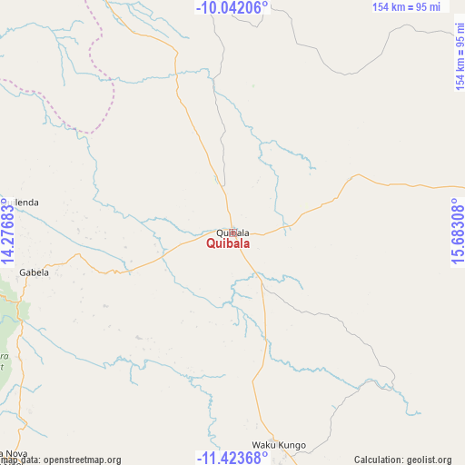
Quibala GPS coordinates[2]
10° 44' 1.176" South, 14° 58' 47.82" East
| Map corner | latitude | longitude |
|---|---|---|
| Upper-left | -10.04206°, | 14.27683° |
| Center: | -10.73366°, | 14.97995° |
| Lower-right: | -11.42368°, | 15.68308° |
| Map W x H: | 153.6×153.6 km | = 95.4×95.4mi |
| max Lat: | -5.55° ⇑36.1% North |
| Quibala: | -10.73366° |
| min Lat: | ⇓63.9% South -17.06667° |
| min Long | Quibala | max Long |
| 12.15222° | 14.97995° | 22.22466° |
| W 36.1%⇐ | ⇒63.9% E |
Elevation
Elevation of Quibala is 1284 m = 4213 ft, and this is 315.1 m = 1034 ft above average elevation for this country.
| Max E: |
1895 m = 6217 ft | 38.9% |
| Quibala | 1284 m 4213 ft | |
| Avg. | 968.9 m = 3179 ft | |
Min E: |
1 m = 3 ft | 61.1% |
See also: Angola elevation on elevation.city.
Geographical zone
Quibala is located in South Torrid zone (between Equator and Tropic of Capricorn). Distance of Equator is 1193.5 km =741.6 mi to North.| Distance of | km | miles | from Quibala |
|---|---|---|---|
| Equator | 1193.5 | 741.6 | to North |
| Tropic Capricorn | 1412.4 | 877.6 | to South |
| Antarctic Circle | 6207.7 | 3857.3 | to South |
| South Pole | 8813.6 | 5476.5 | to South |


Nearby cities:
15 places around Quibala: (largest is in red/bold)
• Benguela
267.2 km =166 mi,  219°
219°
• Catumbela
244.8 km =152.1 mi, 219°
• Caxito
279.7 km =173.8 mi,  328°
328°
• Caála
243.9 km =151.6 mi,  164°
164°
• Chela
181.3 km =112.7 mi, 164°
• Chinjenje
244.5 km =151.9 mi,  179°
179°
• Cuito
280.9 km =174.5 mi,  130°
130°
• Huambo
241.7 km =150.2 mi, 160°
• Lobito
240 km =149.1 mi, 220°
• Longonjo
243.4 km =151.2 mi,  172°
172°
• Luanda
284.7 km =176.9 mi,  317°
317°
• Malanje
199.5 km =124 mi,  48°
48°
• N’dalatando
159.8 km =99.3 mi,  357°
357°
• Sumbe
134.7 km =83.7 mi,  247°
247°
• Uacu Cungo
70.9 km =44.1 mi, 167°
Sources, notices
• [Note1] Compared only with cities in Angola existing in our database
• [Src1] Map data: © OpenStreetMap contributors (CC-BY-SA)
• [Src2] Other city data from geonames.org with taken over terms of usage.
• [Src3] Geographical zone / Annual Mean Temperature by Robert A. Rohde @ Wikipedia
