Chela geodata
Chela (Huambo) is a populated place; located in Angola in Africa/Luanda (GMT+1) time zone. With population of 5,811 people, there are 32 cities with bigger population in this country. Compared to other cities in Angola, 63.9% of cities are located further ↑North; 55.6% of cities are located further ←West and 88.9% of cities have lower elevation than Chela. Note1


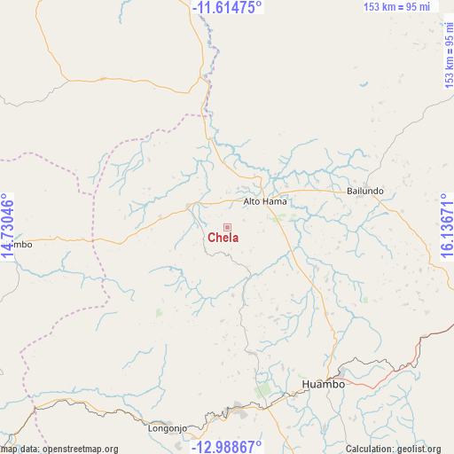
Chela GPS coordinates[2]
12° 18' 9.396" South, 15° 26' 0.888" East
| Map corner | latitude | longitude |
|---|---|---|
| Upper-left | -11.61475°, | 14.73046° |
| Center: | -12.30261°, | 15.43358° |
| Lower-right: | -12.98867°, | 16.13671° |
| Map W x H: | 152.8×152.8 km | = 94.9×94.9mi |
| max Lat: | -5.55° ⇑63.9% North |
| Chela: | -12.30261° |
| min Lat: | ⇓36.1% South -17.06667° |
| min Long | Chela | max Long |
| 12.15222° | 15.43358° | 22.22466° |
| W 55.6%⇐ | ⇒44.4% E |
Elevation
Elevation of Chela is 1716 m = 5630 ft, and this is 747.1 m = 2451 ft above average elevation for this country.
| Max E: |
1895 m = 6217 ft | 11.1% |
| Chela | 1716 m 5630 ft | |
| Avg. | 968.9 m = 3179 ft | |
Min E: |
1 m = 3 ft | 88.9% |
See also: Angola elevation on elevation.city.
Geographical zone
Chela is located in South Torrid zone (between Equator and Tropic of Capricorn). Distance of this Southern Tropic circle is 1238 km =769.3 mi to South.| Distance of | km | miles | from Chela |
|---|---|---|---|
| Equator | 1367.9 | 850 | to North |
| Tropic Capricorn | 1238 | 769.3 | to South |
| Antarctic Circle | 6033.3 | 3748.9 | to South |
| South Pole | 8639.1 | 5368.1 | to South |


Nearby cities:
15 places around Chela: (largest is in red/bold)
• Benguela
222.3 km =138.1 mi,  262°
262°
• Caconda
164 km =101.9 mi,  194°
194°
• Camacupa
225.1 km =139.9 mi,  81°
81°
• Catabola
201.7 km =125.3 mi,  85°
85°
• Catumbela
205.4 km =127.6 mi,  266°
266°
• Caála
62.7 km =39 mi,  167°
167°
• Chinjenje
84.8 km =52.7 mi,  214°
214°
• Chissamba
207 km =128.6 mi, 85°
• Cuito
163.1 km =101.3 mi, 93°
• Huambo
62.2 km =38.6 mi,  147°
147°
• Lobito
206.2 km =128.1 mi, 268°
• Longonjo
70 km =43.5 mi,  196°
196°
• Quibala
181.3 km =112.7 mi,  344°
344°
• Sumbe
211.7 km =131.5 mi,  305°
305°
• Uacu Cungo
110.7 km =68.8 mi, 341°
Sources, notices
• [Note1] Compared only with cities in Angola existing in our database
• [Src1] Map data: © OpenStreetMap contributors (CC-BY-SA)
• [Src2] Other city data from geonames.org with taken over terms of usage.
• [Src3] Geographical zone / Annual Mean Temperature by Robert A. Rohde @ Wikipedia
