Caála geodata
Caála (Huambo) is a populated place; located in Angola in Africa/Luanda (GMT+1) time zone. With population of 21,205 people, there are 18 cities with bigger population in this country. Compared to other cities in Angola, 80.6% of cities are located further ↑North; 58.3% of cities are located further ←West and 94.4% of cities have lower elevation than Caála. Note1


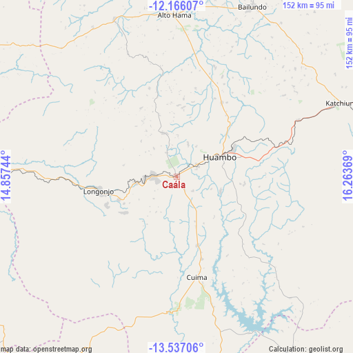
Caála GPS coordinates[2]
12° 51' 9" South, 15° 33' 38.016" East
| Map corner | latitude | longitude |
|---|---|---|
| Upper-left | -12.16607°, | 14.85744° |
| Center: | -12.8525°, | 15.56056° |
| Lower-right: | -13.53706°, | 16.26369° |
| Map W x H: | 152.4×152.4 km | = 94.7×94.7mi |
| max Lat: | -5.55° ⇑80.6% North |
| Caála: | -12.8525° |
| min Lat: | ⇓19.4% South -17.06667° |
| min Long | Caála | max Long |
| 12.15222° | 15.56056° | 22.22466° |
| W 58.3%⇐ | ⇒41.7% E |
Elevation
Elevation of Caála is 1742 m = 5715 ft, and this is 773.1 m = 2536 ft above average elevation for this country.
| Max E: |
1895 m = 6217 ft | 5.6% |
| Caála | 1742 m 5715 ft | |
| Avg. | 968.9 m = 3179 ft | |
Min E: |
1 m = 3 ft | 94.4% |
See also: Angola elevation on elevation.city.
Geographical zone
Caála is located in South Torrid zone (between Equator and Tropic of Capricorn). Distance of this Southern Tropic circle is 1176.9 km =731.3 mi to South.| Distance of | km | miles | from Caála |
|---|---|---|---|
| Equator | 1429.1 | 888 | to North |
| Tropic Capricorn | 1176.9 | 731.3 | to South |
| Antarctic Circle | 5972.1 | 3710.9 | to South |
| South Pole | 8578 | 5330.1 | to South |


Nearby cities:
15 places around Caála: (largest is in red/bold)
• Benguela
235.8 km =146.5 mi,  277°
277°
• Caconda
111.6 km =69.3 mi,  208°
208°
• Camacupa
228.5 km =142 mi,  66°
66°
• Catabola
202.7 km =126 mi, 67°
• Catumbela
223.5 km =138.9 mi, 282°
• Chela
62.7 km =39 mi,  347°
347°
• Chinjenje
62.2 km =38.6 mi,  261°
261°
• Chissamba
207 km =128.6 mi, 68°
• Cuito
157.8 km =98.1 mi, 70°
• Huambo
21.1 km =13.1 mi, 66°
• Lobito
226.3 km =140.6 mi, 283°
• Longonjo
33.8 km =21 mi, 259°
• Quibala
243.9 km =151.6 mi,  344°
344°
• Sumbe
261.5 km =162.5 mi,  314°
314°
• Uacu Cungo
173.2 km =107.6 mi, 343°
Sources, notices
• [Note1] Compared only with cities in Angola existing in our database
• [Src1] Map data: © OpenStreetMap contributors (CC-BY-SA)
• [Src2] Other city data from geonames.org with taken over terms of usage.
• [Src3] Geographical zone / Annual Mean Temperature by Robert A. Rohde @ Wikipedia
