Cuito geodata
Cuito (Bíe) is a seat of a first-order administrative division; located in Angola in Africa/Luanda (GMT+1) time zone. With population of 113,624 people, there are 5 cities with bigger population in this country. Compared to other cities in Angola, 69.4% of cities are located further ↑North; 69.4% of cities are located further ←West and 86.1% of cities have lower elevation than Cuito. Note1


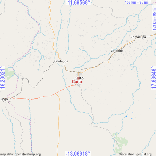
Cuito GPS coordinates[2]
12° 22' 59.988" South, 16° 55' 59.988" East
| Map corner | latitude | longitude |
|---|---|---|
| Upper-left | -11.69568°, | 16.23021° |
| Center: | -12.38333°, | 16.93333° |
| Lower-right: | -13.06918°, | 17.63646° |
| Map W x H: | 152.7×152.7 km | = 94.9×94.9mi |
| max Lat: | -5.55° ⇑69.4% North |
| Cuito: | -12.38333° |
| min Lat: | ⇓30.6% South -17.06667° |
| min Long | Cuito | max Long |
| 12.15222° | 16.93333° | 22.22466° |
| W 69.4%⇐ | ⇒30.6% E |
Elevation
Elevation of Cuito is 1715 m = 5627 ft, and this is 746.1 m = 2448 ft above average elevation for this country.
| Max E: |
1895 m = 6217 ft | 13.9% |
| Cuito | 1715 m 5627 ft | |
| Avg. | 968.9 m = 3179 ft | |
Min E: |
1 m = 3 ft | 86.1% |
See also: Cuito elevation on elevation.city.
Geographical zone
Cuito is located in South Torrid zone (between Equator and Tropic of Capricorn). Distance of this Southern Tropic circle is 1229 km =763.7 mi to South.| Distance of | km | miles | from Cuito |
|---|---|---|---|
| Equator | 1376.9 | 855.6 | to North |
| Tropic Capricorn | 1229 | 763.7 | to South |
| Antarctic Circle | 6024.3 | 3743.3 | to South |
| South Pole | 8630.2 | 5362.6 | to South |


Nearby cities:
15 places around Cuito: (largest is in red/bold)
• Caconda
251.8 km =156.5 mi,  233°
233°
• Camacupa
72.4 km =45 mi,  55°
55°
• Catabola
46 km =28.6 mi, 55°
• Caála
157.8 km =98.1 mi,  250°
250°
• Chela
163.1 km =101.3 mi,  273°
273°
• Chinjenje
219.2 km =136.2 mi, 253°
• Chissamba
49.7 km =30.9 mi, 60°
• Huambo
136.8 km =85 mi, 251°
• Longonjo
191.3 km =118.9 mi, 252°
• Luena
331.2 km =205.8 mi,  78°
78°
• Malanje
322.7 km =200.5 mi,  348°
348°
• Menongue
265.9 km =165.2 mi,  162°
162°
• Quibala
280.9 km =174.5 mi,  310°
310°
• Sumbe
360.9 km =224.3 mi,  291°
291°
• Uacu Cungo
228.2 km =141.8 mi,  300°
300°
Sources, notices
• [Note1] Compared only with cities in Angola existing in our database
• [Src1] Map data: © OpenStreetMap contributors (CC-BY-SA)
• [Src2] Other city data from geonames.org with taken over terms of usage.
• [Src3] Geographical zone / Annual Mean Temperature by Robert A. Rohde @ Wikipedia
