Chissamba geodata
Chissamba (Bíe) is a populated place; located in Angola in Africa/Luanda (GMT+1) time zone. With population of 7,677 people, there are 31 cities with bigger population in this country. Compared to other cities in Angola, 61.1% of cities are located further ↑North; 75% of cities are located further ←West and 72.2% of cities have lower elevation than Chissamba. Note1


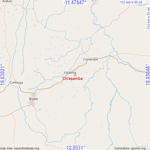
Chissamba GPS coordinates[2]
12° 10' 0.012" South, 17° 19' 59.988" East
| Map corner | latitude | longitude |
|---|---|---|
| Upper-left | -11.47847°, | 16.63021° |
| Center: | -12.16667°, | 17.33333° |
| Lower-right: | -12.8531°, | 18.03646° |
| Map W x H: | 152.8×152.8 km | = 94.9×94.9mi |
| max Lat: | -5.55° ⇑61.1% North |
| Chissamba: | -12.16667° |
| min Lat: | ⇓38.9% South -17.06667° |
| min Long | Chissamba | max Long |
| 12.15222° | 17.33333° | 22.22466° |
| W 75%⇐ | ⇒25% E |
Elevation
Elevation of Chissamba is 1404 m = 4606 ft, and this is 435.1 m = 1427 ft above average elevation for this country.
| Max E: |
1895 m = 6217 ft | 27.8% |
| Chissamba | 1404 m 4606 ft | |
| Avg. | 968.9 m = 3179 ft | |
Min E: |
1 m = 3 ft | 72.2% |
See also: Angola elevation on elevation.city.
Geographical zone
Chissamba is located in South Torrid zone (between Equator and Tropic of Capricorn). Distance of this Southern Tropic circle is 1253.1 km =778.6 mi to South.| Distance of | km | miles | from Chissamba |
|---|---|---|---|
| Equator | 1352.8 | 840.6 | to North |
| Tropic Capricorn | 1253.1 | 778.6 | to South |
| Antarctic Circle | 6048.4 | 3758.3 | to South |
| South Pole | 8654.3 | 5377.5 | to South |


Nearby cities:
15 places around Chissamba: (largest is in red/bold)
• Caconda
301.1 km =187.1 mi,  234°
234°
• Camacupa
23.3 km =14.5 mi,  44°
44°
• Catabola
5.7 km =3.5 mi,  288°
288°
• Caála
207 km =128.6 mi,  248°
248°
• Chela
207 km =128.6 mi,  265°
265°
• Chinjenje
268 km =166.5 mi, 251°
• Cuito
49.7 km =30.9 mi,  240°
240°
• Huambo
185.9 km =115.5 mi, 248°
• Longonjo
240.3 km =149.3 mi, 249°
• Luena
284.2 km =176.6 mi,  81°
81°
• Léua
343.9 km =213.7 mi, 80°
• Malanje
311.5 km =193.6 mi,  339°
339°
• Menongue
279.8 km =173.9 mi,  172°
172°
• Quibala
301.9 km =187.6 mi,  301°
301°
• Uacu Cungo
257.5 km =160 mi, 290°
Sources, notices
• [Note1] Compared only with cities in Angola existing in our database
• [Src1] Map data: © OpenStreetMap contributors (CC-BY-SA)
• [Src2] Other city data from geonames.org with taken over terms of usage.
• [Src3] Geographical zone / Annual Mean Temperature by Robert A. Rohde @ Wikipedia
