Mongar geodata
Mongar is a seat of a first-order administrative division; located in Bhutan in Asia/Thimphu (GMT+6) time zone. With population of 2,969 people, there are 12 cities with bigger population in this country. Compared to other cities in Bhutan, 51.9% of cities are located further ↓South; 74.1% of cities are located further ←West and 63% of cities have lower elevation than Mongar. Note1


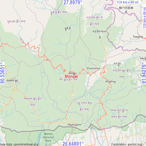
Mongar GPS coordinates[2]
27° 16' 28.956" North, 91° 14' 22.668" East
| Map corner | latitude | longitude |
|---|---|---|
| Upper-left | 27.8979°, | 90.53651° |
| Center: | 27.27471°, | 91.23963° |
| Lower-right: | 26.64801°, | 91.94276° |
| Map W x H: | 139×139 km | = 86.4×86.4mi |
| max Lat: | 27.90372° ⇑48.1% North |
| Mongar: | 27.27471° |
| min Lat: | ⇓51.9% South 26.78333° |
| min Long | Mongar | max Long |
| 89.09951° | 91.23963° | 92.1° |
| W 74.1%⇐ | ⇒25.9% E |
Elevation
Elevation of Mongar is 1648 m = 5407 ft, and this is 269.8 m = 885 ft above average elevation for this country.
| Max E: |
2761 m = 9058 ft | 37% |
| Mongar | 1648 m 5407 ft | |
| Avg. | 1378.2 m = 4522 ft | |
Min E: |
145 m = 476 ft | 63% |
See also: Bhutan elevation on elevation.city.
Geographical zone
Mongar is located in North temperate zone (between Tropic of Cancer and the Arctic Circle). Distance of this Northern Tropic circle is 426.7 km =265.1 mi to South.| Distance of | km | miles | from Mongar |
|---|---|---|---|
| North Pole | 6974.4 | 4333.7 | to North |
| Arctic Circle | 4368.5 | 2714.5 | to North |
| Tropic Cancer | 426.7 | 265.1 | to South |
| Equator | 3032.7 | 1884.4 | to South |


Nearby cities:
15 places around Mongar: (largest is in red/bold)
• Bhangtar
69.5 km =43.2 mi,  137°
137°
• Daifam
94.8 km =58.9 mi,  116°
116°
• Jakar
56.9 km =35.4 mi,  302°
302°
• Lhuentse
44.1 km =27.4 mi,  352°
352°
• Nganglam
54.6 km =33.9 mi,  178°
178°
• Panbang
52 km =32.3 mi,  209°
209°
• Pemagatshel
30.9 km =19.2 mi,  148°
148°
• Samdrup Jongkhar
58.9 km =36.6 mi, 153°
• Sarpang
106.5 km =66.2 mi,  244°
244°
• Shemgang
57.9 km =36 mi,  263°
263°
• Trashi Yangtse
45.3 km =28.1 mi,  34°
34°
• Trashigang
31.8 km =19.8 mi,  78°
78°
• Trongsa
76.6 km =47.6 mi,  289°
289°
• Tsirang
114 km =70.8 mi, 255°
• Wangdue Phodrang
134.4 km =83.5 mi,  280°
280°
Sources, notices
• [Note1] Compared only with cities in Bhutan existing in our database
• [Src1] Map data: © OpenStreetMap contributors (CC-BY-SA)
• [Src2] Other city data from geonames.org with taken over terms of usage.
• [Src3] Geographical zone / Annual Mean Temperature by Robert A. Rohde @ Wikipedia
