Lhuentse geodata
Lhuentse (Lhuntse) is a seat of a first-order administrative division; located in Bhutan in Asia/Thimphu (GMT+6) time zone. With population of 100 people, there are 26 cities with bigger population in this country. Compared to other cities in Bhutan, 96.3% of cities are located further ↓South; 70.4% of cities are located further ←West and 51.9% of cities have higher elevation than Lhuentse. Note1


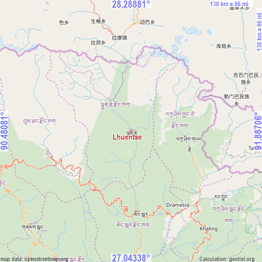
Lhuentse GPS coordinates[2]
27° 40' 4.332" North, 91° 11' 2.148" East
| Map corner | latitude | longitude |
|---|---|---|
| Upper-left | 28.28881°, | 90.48081° |
| Center: | 27.66787°, | 91.18393° |
| Lower-right: | 27.04338°, | 91.88706° |
| Map W x H: | 138.5×138.5 km | = 86.1×86.1mi |
| max Lat: | 27.90372° ⇑3.7% North |
| Lhuentse: | 27.66787° |
| min Lat: | ⇓96.3% South 26.78333° |
| min Long | Lhuentse | max Long |
| 89.09951° | 91.18393° | 92.1° |
| W 70.4%⇐ | ⇒29.6% E |
Elevation
Elevation of Lhuentse is 1403 m = 4603 ft, and this is 24.8 m = 81 ft above average elevation for this country.
| Max E: |
2761 m = 9058 ft | 51.9% |
| Lhuentse | 1403 m 4603 ft | |
| Avg. | 1378.2 m = 4522 ft | |
Min E: |
145 m = 476 ft | 48.1% |
See also: Bhutan elevation on elevation.city.
Geographical zone
Lhuentse is located in North temperate zone (between Tropic of Cancer and the Arctic Circle). Distance of this Northern Tropic circle is 470.5 km =292.4 mi to South.| Distance of | km | miles | from Lhuentse |
|---|---|---|---|
| North Pole | 6930.7 | 4306.5 | to North |
| Arctic Circle | 4324.8 | 2687.3 | to North |
| Tropic Cancer | 470.5 | 292.4 | to South |
| Equator | 3076.4 | 1911.6 | to South |


Nearby cities:
15 places around Lhuentse: (largest is in red/bold)
• Bhangtar
108.3 km =67.3 mi,  150°
150°
• Daifam
124.4 km =77.3 mi,  133°
133°
• Jakar
44.5 km =27.7 mi,  252°
252°
• Mongar
44.1 km =27.4 mi,  172°
172°
• Nganglam
98.6 km =61.3 mi,  176°
176°
• Panbang
91.3 km =56.7 mi,  192°
192°
• Pemagatshel
73.3 km =45.5 mi,  162°
162°
• Samdrup Jongkhar
101.5 km =63.1 mi, 161°
• Sarpang
127.3 km =79.1 mi,  225°
225°
• Shemgang
72.2 km =44.9 mi, 225°
• Trashi Yangtse
31.6 km =19.6 mi,  101°
101°
• Trashigang
52.1 km =32.4 mi,  135°
135°
• Trongsa
69.2 km =43 mi, 254°
• Tsirang
127 km =78.9 mi,  235°
235°
• Wangdue Phodrang
128.2 km =79.7 mi,  260°
260°
Sources, notices
• [Note1] Compared only with cities in Bhutan existing in our database
• [Src1] Map data: © OpenStreetMap contributors (CC-BY-SA)
• [Src2] Other city data from geonames.org with taken over terms of usage.
• [Src3] Geographical zone / Annual Mean Temperature by Robert A. Rohde @ Wikipedia
