Manyana geodata
Manyana (Kgalagadi) is a populated place; located in Botswana in Africa/Gaborone (GMT+2) time zone. With population of 3,338 people, there are 41 cities with bigger population in this country. Compared to other cities in Botswana, 54.3% of cities are located further ↑North; 97.1% of cities are located further →East and 91.4% of cities have lower elevation than Manyana. Note1


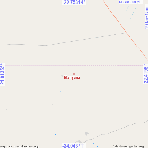
Manyana GPS coordinates[2]
23° 24' 0" South, 21° 43' 0.012" East
| Map corner | latitude | longitude |
|---|---|---|
| Upper-left | -22.75314°, | 21.01355° |
| Center: | -23.4°, | 21.71667° |
| Lower-right: | -24.04371°, | 22.4198° |
| Map W x H: | 143.5×143.5 km | = 89.2×89.2mi |
| max Lat: | -17.80165° ⇑54.3% North |
| Manyana: | -23.4° |
| min Lat: | ⇓45.7% South -26.9° |
| min Long | Manyana | max Long |
| 20.06667° | 21.71667° | 28.74946° |
| W 2.9%⇐ | ⇒97.1% E |
Elevation
Elevation of Manyana is 1191 m = 3907 ft, and this is 176 m = 577 ft above average elevation for this country.
| Max E: |
1406 m = 4613 ft | 8.6% |
| Manyana | 1191 m 3907 ft | |
| Avg. | 1015 m = 3330 ft | |
Min E: |
676 m = 2218 ft | 91.4% |
See also: Botswana elevation on elevation.city.
Geographical zone
Manyana is located in South Torrid zone (between Equator and Tropic of Capricorn). Distance of this Southern Tropic circle is 4.1 km =2.5 mi to South.| Distance of | km | miles | from Manyana |
|---|---|---|---|
| Equator | 2601.8 | 1616.7 | to North |
| Tropic Capricorn | 4.1 | 2.5 | to South |
| Antarctic Circle | 4799.3 | 2982.1 | to South |
| South Pole | 7405.2 | 4601.4 | to South |


Nearby cities:
15 places around Manyana: (largest is in red/bold)
• Dekar
208.7 km =129.7 mi,  6°
6°
• Dutlwe
231.6 km =143.9 mi,  106°
106°
• Ghanzi
189.4 km =117.7 mi,  357°
357°
• Hukuntsi
66.9 km =41.6 mi,  174°
174°
• Jwaneng
333.8 km =207.4 mi, 113°
• Kang
113.4 km =70.5 mi, 105°
• Khakhea
230.5 km =143.2 mi,  128°
128°
• Khudumelapye
313.6 km =194.9 mi,  99°
99°
• Kuli
173 km =107.5 mi,  282°
282°
• Lehututu
64.8 km =40.3 mi, 166°
• Lokwabe
86.1 km =53.5 mi, 172°
• Sekoma
246.7 km =153.3 mi,  116°
116°
• Tshabong
303.8 km =188.8 mi, 165°
• Tshane
72.9 km =45.3 mi, 165°
• Werda
261.3 km =162.4 mi,  142°
142°
Sources, notices
• [Note1] Compared only with cities in Botswana existing in our database
• [Src1] Map data: © OpenStreetMap contributors (CC-BY-SA)
• [Src2] Other city data from geonames.org with taken over terms of usage.
• [Src3] Geographical zone / Annual Mean Temperature by Robert A. Rohde @ Wikipedia
