Korem geodata
Korem (Tigray) is a populated place; located in Ethiopia in Africa/Addis_Ababa (GMT+3) time zone. With population of 30,633 people, there are 38 cities with bigger population in this country. Compared to other cities in Ethiopia, 92.5% of cities are located further ↓South; 76.6% of cities are located further ←West and 83.2% of cities have lower elevation than Korem. Note1


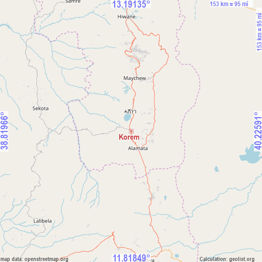
Korem GPS coordinates[2]
12° 30' 20.988" North, 39° 31' 22.008" East
| Map corner | latitude | longitude |
|---|---|---|
| Upper-left | 13.19135°, | 38.81966° |
| Center: | 12.50583°, | 39.52278° |
| Lower-right: | 11.81849°, | 40.22591° |
| Map W x H: | 152.6×152.7 km | = 94.8×94.9mi |
| max Lat: | 14.277° ⇑7.5% North |
| Korem: | 12.50583° |
| min Lat: | ⇓92.5% South 4.05° |
| min Long | Korem | max Long |
| 34.53333° | 39.52278° | 42.8° |
| W 76.6%⇐ | ⇒23.4% E |
Elevation
Elevation of Korem is 2487 m = 8159 ft, and this is 591.4 m = 1940 ft above average elevation for this country.
| Max E: |
2854 m = 9364 ft | 16.8% |
| Korem | 2487 m 8159 ft | |
| Avg. | 1895.6 m = 6219 ft | |
Min E: |
367 m = 1204 ft | 83.2% |
See also: Ethiopia elevation on elevation.city.
Geographical zone
Korem is located in North Torrid zone (between Equator and Tropic of Cancer). Distance of this Northern Tropic circle is 1215.4 km =755.2 mi to North.| Distance of | km | miles | from Korem |
|---|---|---|---|
| North Pole | 8616.5 | 5354 | to North |
| Arctic Circle | 6010.7 | 3734.9 | to North |
| Tropic Cancer | 1215.4 | 755.2 | to North |
| Equator | 1390.5 | 864 | to South |


Nearby cities:
15 places around Korem: (largest is in red/bold)
• Axum
199.3 km =123.8 mi,  334°
334°
• Batī
155.7 km =96.7 mi,  159°
159°
• Dabat
197.9 km =123 mi,  285°
285°
• Debark’
190.4 km =118.3 mi, 292°
• Debre Tabor
179.2 km =111.3 mi,  245°
245°
• Desē
153.1 km =95.1 mi,  175°
175°
• Dubti
190 km =118.1 mi,  116°
116°
• Kombolcha
160.2 km =99.5 mi,  171°
171°
• Lalībela
73.8 km =45.9 mi,  224°
224°
• Maych’ew
31.4 km =19.5 mi,  3°
3°
• Mek'ele
110.3 km =68.5 mi,  357°
357°
• Robīt
55.7 km =34.6 mi, 167°
• Semera
179.6 km =111.6 mi, 116°
• Ādīgrat
197 km =122.4 mi, 358°
• Ādīs Zemen
193.9 km =120.5 mi,  257°
257°
Sources, notices
• [Note1] Compared only with cities in Ethiopia existing in our database
• [Src1] Map data: © OpenStreetMap contributors (CC-BY-SA)
• [Src2] Other city data from geonames.org with taken over terms of usage.
• [Src3] Geographical zone / Annual Mean Temperature by Robert A. Rohde @ Wikipedia
