Gewanē geodata
Gewanē (Āfar) is a populated place; located in Ethiopia in Africa/Addis_Ababa (GMT+3) time zone. With population of 11,279 people, there are 88 cities with bigger population in this country. Compared to other cities in Ethiopia, 72% of cities are located further ↓South; 89.7% of cities are located further ←West and 95.3% of cities have higher elevation than Gewanē. Note1


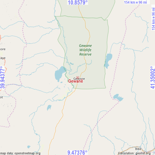
Gewanē GPS coordinates[2]
10° 9' 59.688" North, 40° 38' 48.804" East
| Map corner | latitude | longitude |
|---|---|---|
| Upper-left | 10.8579°, | 39.94377° |
| Center: | 10.16658°, | 40.64689° |
| Lower-right: | 9.47376°, | 41.35002° |
| Map W x H: | 153.9×153.9 km | = 95.6×95.6mi |
| max Lat: | 14.277° ⇑28% North |
| Gewanē: | 10.16658° |
| min Lat: | ⇓72% South 4.05° |
| min Long | Gewanē | max Long |
| 34.53333° | 40.64689° | 42.8° |
| W 89.7%⇐ | ⇒10.3% E |
Elevation
Elevation of Gewanē is 620 m = 2034 ft, and this is 1275.6 m = 4185 ft below average elevation for this country.
| Max E: |
2854 m = 9364 ft | 95.3% |
| Avg. | 1895.6 m = 6219 ft | |
| Gewanē | 620 m = 2034 ft | |
Min E: |
367 m = 1204 ft | 4.7% |
See also: Ethiopia elevation on elevation.city.
Geographical zone
Gewanē is located in North Torrid zone (between Equator and Tropic of Cancer). Distance of Equator is 1130.4 km =702.4 mi to South.| Distance of | km | miles | from Gewanē |
|---|---|---|---|
| North Pole | 8876.6 | 5515.7 | to North |
| Arctic Circle | 6270.8 | 3896.5 | to North |
| Tropic Cancer | 1475.5 | 916.8 | to North |
| Equator | 1130.4 | 702.4 | to South |


Nearby cities:
15 places around Gewanē: (largest is in red/bold)
• Abomsa
75.4 km =46.9 mi,  254°
254°
• Batī
133.1 km =82.7 mi,  328°
328°
• Bedēsa
141.6 km =88 mi,  173°
173°
• Debre Birhan
133.5 km =83 mi, 246°
• Debre Sīna
103.4 km =64.2 mi, 249°
• Deder
129 km =80.2 mi,  137°
137°
• Desē
154.3 km =95.9 mi,  314°
314°
• Dire Dawa
148 km =92 mi,  115°
115°
• Gelemso
150.8 km =93.7 mi,  185°
185°
• Hīrna
116.7 km =72.5 mi,  154°
154°
• Kemisē
104.7 km =65.1 mi, 305°
• Kombolcha
141.8 km =88.1 mi,  315°
315°
• Were Īlu
140.4 km =87.2 mi,  289°
289°
• Āsbe Teferī
122.6 km =76.2 mi, 168°
• Āwash
141.7 km =88 mi,  201°
201°
Sources, notices
• [Note1] Compared only with cities in Ethiopia existing in our database
• [Src1] Map data: © OpenStreetMap contributors (CC-BY-SA)
• [Src2] Other city data from geonames.org with taken over terms of usage.
• [Src3] Geographical zone / Annual Mean Temperature by Robert A. Rohde @ Wikipedia
