Hamadān geodata
Hamadān is a seat of a first-order administrative division; located in Iran in Asia/Tehran (GMT+3.5) time zone. With population of 528,256 people, there are 15 cities with bigger population in this country. Compared to other cities in Iran, 55.3% of cities are located further ↓South; 75.7% of cities are located further →East and 86.6% of cities have lower elevation than Hamadān. Note1


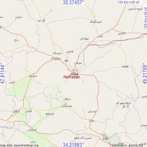
Hamadān GPS coordinates[2]
34° 47' 57.192" North, 48° 30' 52.416" East
| Map corner | latitude | longitude |
|---|---|---|
| Upper-left | 35.37457°, | 47.81144° |
| Center: | 34.79922°, | 48.51456° |
| Lower-right: | 34.21983°, | 49.21769° |
| Map W x H: | 128.4×128.4 km | = 79.8×79.8mi |
| max Lat: | 39.6482° ⇑44.7% North |
| Hamadān: | 34.79922° |
| min Lat: | ⇓55.3% South 25.2919° |
| min Long | Hamadān | max Long |
| 44.38416° | 48.51456° | 61.9965° |
| W 24.3%⇐ | ⇒75.7% E |
Elevation
Elevation of Hamadān is 1820 m = 5971 ft, and this is 771 m = 2530 ft above average elevation for this country.
| Max E: |
2564 m = 8412 ft | 13.4% |
| Hamadān | 1820 m 5971 ft | |
| Avg. | 1049 m = 3442 ft | |
Min E: |
-24 m = -79 ft | 86.6% |
See also: Hamadān elevation on elevation.city.
Geographical zone
Hamadān is located in North temperate zone (between Tropic of Cancer and the Arctic Circle). Distance of this Northern Tropic circle is 1263.4 km =785 mi to South.| Distance of | km | miles | from Hamadān |
|---|---|---|---|
| North Pole | 6137.8 | 3813.9 | to North |
| Arctic Circle | 3531.9 | 2194.6 | to North |
| Tropic Cancer | 1263.4 | 785 | to South |
| Equator | 3869.3 | 2404.3 | to South |


Nearby cities:
15 places around Hamadān: (largest is in red/bold)
• Anūch
77 km =47.8 mi,  175°
175°
• Asadābād
36.1 km =22.4 mi,  267°
267°
• Bahār
13.7 km =8.5 mi,  330°
330°
• Fāmenīn
54.7 km =34 mi,  49°
49°
• Kabūdarāhang
49.4 km =30.7 mi,  22°
22°
• Kangāvar
60 km =37.3 mi,  236°
236°
• Khondāb
76.1 km =47.3 mi,  126°
126°
• Komījān
74.7 km =46.4 mi,  96°
96°
• Malāyer
62.1 km =38.6 mi,  153°
153°
• Nahāvand
68.8 km =42.8 mi,  190°
190°
• Pasragad Branch
4.6 km =2.9 mi, 238°
• Qorveh
76.4 km =47.5 mi,  302°
302°
• Razan
80.6 km =50.1 mi,  35°
35°
• Tūyserkān
28.4 km =17.6 mi, 193°
• Āzādshahr
5.2 km =3.2 mi, 100°
Sources, notices
• [Note1] Compared only with cities in Iran existing in our database
• [Src1] Map data: © OpenStreetMap contributors (CC-BY-SA)
• [Src2] Other city data from geonames.org with taken over terms of usage.
• [Src3] Geographical zone / Annual Mean Temperature by Robert A. Rohde @ Wikipedia
