Temir geodata
Temir (Aqtöbe) is a populated place; located in Kazakhstan in Asia/Aqtobe (GMT+5) time zone. With population of 2,560 people, there are 238 cities with bigger population in this country. Compared to other cities in Kazakhstan, 53% of cities are located further ↓South; 83.7% of cities are located further →East and 61.9% of cities have higher elevation than Temir. Note1


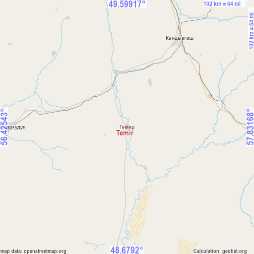
Temir GPS coordinates[2]
49° 8' 28.752" North, 57° 7' 42.78" East
| Map corner | latitude | longitude |
|---|---|---|
| Upper-left | 49.59917°, | 56.42543° |
| Center: | 49.14132°, | 57.12855° |
| Lower-right: | 48.6792°, | 57.83168° |
| Map W x H: | 102.3×102.3 km | = 63.6×63.6mi |
| max Lat: | 54.90596° ⇑47% North |
| Temir: | 49.14132° |
| min Lat: | ⇓53% South 40.66338° |
| min Long | Temir | max Long |
| 46.83361° | 57.12855° | 84.87144° |
| W 16.3%⇐ | ⇒83.7% E |
Elevation
Elevation of Temir is 228 m = 748 ft, and this is 128.5 m = 422 ft below average elevation for this country.
| Max E: |
1847 m = 6060 ft | 61.9% |
| Avg. | 356.5 m = 1170 ft | |
| Temir | 228 m = 748 ft | |
Min E: |
-26 m = -85 ft | 38.1% |
See also: Kazakhstan elevation on elevation.city.
Geographical zone
Temir is located in North temperate zone (between Tropic of Cancer and the Arctic Circle). Distance of this North polar circle is 1937.2 km =1203.7 mi to North.| Distance of | km | miles | from Temir |
|---|---|---|---|
| North Pole | 4543.1 | 2823 | to North |
| Arctic Circle | 1937.2 | 1203.7 | to North |
| Tropic Cancer | 2858.1 | 1775.9 | to South |
| Equator | 5464 | 3395.2 | to South |


Nearby cities:
15 places around Temir: (largest is in red/bold)
• Akkol’
290.7 km =180.6 mi,  261°
261°
• Aktobe
126.7 km =78.7 mi,  2°
2°
• Batamshinskiy
178 km =110.6 mi,  27°
27°
• Bayganin
104.4 km =64.9 mi,  241°
241°
• Biikzhal
316.6 km =196.7 mi,  214°
214°
• Chingirlau
307.3 km =190.9 mi,  315°
315°
• Embi
82.2 km =51.1 mi,  114°
114°
• Kandyagash
42.1 km =26.2 mi, 30°
• Khromtau
155.3 km =96.5 mi,  37°
37°
• Martuk
184.1 km =114.4 mi,  345°
345°
• Miyaly
245 km =152.2 mi, 263°
• Qulsary
335.5 km =208.5 mi,  223°
223°
• Shalqar
233.1 km =144.8 mi,  128°
128°
• Shubarkuduk
47 km =29.2 mi,  270°
270°
• Shubarshi
62.5 km =38.8 mi,  176°
176°
Sources, notices
• [Note1] Compared only with cities in Kazakhstan existing in our database
• [Src1] Map data: © OpenStreetMap contributors (CC-BY-SA)
• [Src2] Other city data from geonames.org with taken over terms of usage.
• [Src3] Geographical zone / Annual Mean Temperature by Robert A. Rohde @ Wikipedia
