Peremetnoe geodata
Peremetnoe (Batys Qazaqstan) is a populated place; located in Kazakhstan in Asia/Oral (GMT+5) time zone. With population of 4,003 people, there are 213 cities with bigger population in this country. Compared to other cities in Kazakhstan, 76.7% of cities are located further ↓South; 96.3% of cities are located further →East and 89.3% of cities have higher elevation than Peremetnoe. Note1


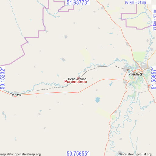
Peremetnoe GPS coordinates[2]
51° 11' 57.3" North, 50° 51' 19.584" East
| Map corner | latitude | longitude |
|---|---|---|
| Upper-left | 51.63773°, | 50.15232° |
| Center: | 51.19925°, | 50.85544° |
| Lower-right: | 50.75655°, | 51.55857° |
| Map W x H: | 98×98 km | = 60.9×60.9mi |
| max Lat: | 54.90596° ⇑23.3% North |
| Peremetnoe: | 51.19925° |
| min Lat: | ⇓76.7% South 40.66338° |
| min Long | Peremetnoe | max Long |
| 46.83361° | 50.85544° | 84.87144° |
| W 3.7%⇐ | ⇒96.3% E |
Elevation
Elevation of Peremetnoe is 50 m = 164 ft, and this is 306.5 m = 1006 ft below average elevation for this country.
| Max E: |
1847 m = 6060 ft | 89.3% |
| Avg. | 356.5 m = 1170 ft | |
| Peremetnoe | 50 m = 164 ft | |
Min E: |
-26 m = -85 ft | 10.7% |
See also: Kazakhstan elevation on elevation.city.
Geographical zone
Peremetnoe is located in North temperate zone (between Tropic of Cancer and the Arctic Circle). Distance of this North polar circle is 1708.4 km =1061.6 mi to North.| Distance of | km | miles | from Peremetnoe |
|---|---|---|---|
| North Pole | 4314.2 | 2680.7 | to North |
| Arctic Circle | 1708.4 | 1061.6 | to North |
| Tropic Cancer | 3086.9 | 1918.1 | to South |
| Equator | 5692.8 | 3537.3 | to South |


Nearby cities:
15 places around Peremetnoe: (largest is in red/bold)
• Akkol’
317.2 km =197.1 mi,  148°
148°
• Aqsay
149.4 km =92.8 mi,  91°
91°
• Burlin
131.6 km =81.8 mi,  78°
78°
• Chapaev
113.2 km =70.3 mi,  168°
168°
• Chingirlau
225.5 km =140.1 mi, 92°
• Dzhambeyty
161.4 km =100.3 mi,  130°
130°
• Dzhangala
223.5 km =138.9 mi,  189°
189°
• Fedorovka
76.8 km =47.7 mi, 88°
• Inderbor
302 km =187.7 mi, 167°
• Kaztalovka
221.1 km =137.4 mi,  223°
223°
• Krūgloozernoe
33.1 km =20.6 mi,  113°
113°
• Miyaly
331.9 km =206.2 mi,  140°
140°
• Oral
35.8 km =22.2 mi, 83°
• Tasqala
40.3 km =25 mi,  255°
255°
• Zhumysker
231.8 km =144 mi,  206°
206°
Sources, notices
• [Note1] Compared only with cities in Kazakhstan existing in our database
• [Src1] Map data: © OpenStreetMap contributors (CC-BY-SA)
• [Src2] Other city data from geonames.org with taken over terms of usage.
• [Src3] Geographical zone / Annual Mean Temperature by Robert A. Rohde @ Wikipedia
