Dzhambeyty geodata
Dzhambeyty (Batys Qazaqstan) is a populated place; located in Kazakhstan in Asia/Oral (GMT+5) time zone. With population of 6,262 people, there are 165 cities with bigger population in this country. Compared to other cities in Kazakhstan, 68.9% of cities are located further ↓South; 90.4% of cities are located further →East and 90.4% of cities have higher elevation than Dzhambeyty. Note1


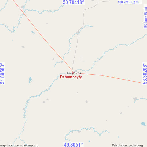
Dzhambeyty GPS coordinates[2]
50° 15' 24.336" North, 52° 35' 56.22" East
| Map corner | latitude | longitude |
|---|---|---|
| Upper-left | 50.70418°, | 51.89583° |
| Center: | 50.25676°, | 52.59895° |
| Lower-right: | 49.8051°, | 53.30208° |
| Map W x H: | 100×100 km | = 62.1×62.1mi |
| max Lat: | 54.90596° ⇑31.1% North |
| Dzhambeyty: | 50.25676° |
| min Lat: | ⇓68.9% South 40.66338° |
| min Long | Dzhambeyty | max Long |
| 46.83361° | 52.59895° | 84.87144° |
| W 9.6%⇐ | ⇒90.4% E |
Elevation
Elevation of Dzhambeyty is 30 m = 98 ft, and this is 326.5 m = 1071 ft below average elevation for this country.
| Max E: |
1847 m = 6060 ft | 90.4% |
| Avg. | 356.5 m = 1170 ft | |
| Dzhambeyty | 30 m = 98 ft | |
Min E: |
-26 m = -85 ft | 9.6% |
See also: Kazakhstan elevation on elevation.city.
Geographical zone
Dzhambeyty is located in North temperate zone (between Tropic of Cancer and the Arctic Circle). Distance of this North polar circle is 1813.1 km =1126.6 mi to North.| Distance of | km | miles | from Dzhambeyty |
|---|---|---|---|
| North Pole | 4419 | 2745.8 | to North |
| Arctic Circle | 1813.1 | 1126.6 | to North |
| Tropic Cancer | 2982.1 | 1853 | to South |
| Equator | 5588 | 3472.2 | to South |


Nearby cities:
15 places around Dzhambeyty: (largest is in red/bold)
• Akkol’
170.5 km =105.9 mi,  165°
165°
• Aqsay
105.2 km =65.4 mi,  15°
15°
• Burlin
130.4 km =81 mi,  3°
3°
• Chapaev
102.1 km =63.4 mi,  266°
266°
• Chingirlau
140.4 km =87.2 mi,  48°
48°
• Dzhangala
199.7 km =124.1 mi,  234°
234°
• Fedorovka
116.3 km =72.3 mi,  337°
337°
• Inderbor
198.7 km =123.5 mi,  197°
197°
• Krūgloozernoe
129.8 km =80.7 mi,  314°
314°
• Martuk
281.6 km =175 mi,  78°
78°
• Miyaly
175.1 km =108.8 mi,  150°
150°
• Oral
138.9 km =86.3 mi,  321°
321°
• Peremetnoe
161.4 km =100.3 mi, 310°
• Tasqala
188.1 km =116.9 mi,  300°
300°
• Zhumysker
251.5 km =156.3 mi,  245°
245°
Sources, notices
• [Note1] Compared only with cities in Kazakhstan existing in our database
• [Src1] Map data: © OpenStreetMap contributors (CC-BY-SA)
• [Src2] Other city data from geonames.org with taken over terms of usage.
• [Src3] Geographical zone / Annual Mean Temperature by Robert A. Rohde @ Wikipedia
