Aqsay geodata
Aqsay (Batys Qazaqstan) is a populated place; located in Kazakhstan in Asia/Oral (GMT+5) time zone. With population of 34,799 people, there are 45 cities with bigger population in this country. Compared to other cities in Kazakhstan, 75.9% of cities are located further ↓South; 88.5% of cities are located further →East and 88.1% of cities have higher elevation than Aqsay. Note1


Aqsay GPS coordinates[2]
51° 10' 5.16" North, 52° 59' 52.152" East
| Map corner | latitude | longitude |
|---|---|---|
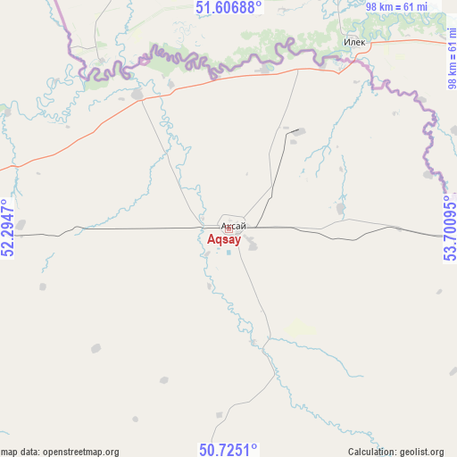
| Upper-left | 51.60688°, | 52.2947° |
| Center: | 51.1681°, | 52.99782° |
| Lower-right: | 50.7251°, | 53.70095° |
| Map W x H: | 98×98 km | = 60.9×60.9mi |
| max Lat: | 54.90596° ⇑24.1% North |
| Aqsay: | 51.1681° |
| min Lat: | ⇓75.9% South 40.66338° |
| min Long | Aqsay | max Long |
| 46.83361° | 52.99782° | 84.87144° |
| W 11.5%⇐ | ⇒88.5% E |
Elevation
Elevation of Aqsay is 65 m = 213 ft, and this is 291.5 m = 956 ft below average elevation for this country.
| Max E: |
1847 m = 6060 ft | 88.1% |
| Avg. | 356.5 m = 1170 ft | |
| Aqsay | 65 m = 213 ft | |
Min E: |
-26 m = -85 ft | 11.9% |
See also: Kazakhstan elevation on elevation.city.
Geographical zone
Aqsay is located in North temperate zone (between Tropic of Cancer and the Arctic Circle). Distance of this North polar circle is 1711.8 km =1063.7 mi to North.| Distance of | km | miles | from Aqsay |
|---|---|---|---|
| North Pole | 4317.7 | 2682.9 | to North |
| Arctic Circle | 1711.8 | 1063.7 | to North |
| Tropic Cancer | 3083.4 | 1915.9 | to South |
| Equator | 5689.4 | 3535.2 | to South |


Nearby cities:
15 places around Aqsay: (largest is in red/bold)
• Akkol’
266.8 km =165.8 mi,  177°
177°
• Bayganin
344 km =213.8 mi,  143°
143°
• Burlin
34.9 km =21.7 mi,  325°
325°
• Chapaev
168 km =104.4 mi,  230°
230°
• Chingirlau
76.2 km =47.3 mi,  95°
95°
• Dzhambeyty
105.2 km =65.4 mi,  195°
195°
• Dzhangala
288.2 km =179.1 mi,  221°
221°
• Fedorovka
72.7 km =45.2 mi,  274°
274°
• Inderbor
303.8 km =188.8 mi, 196°
• Krūgloozernoe
119.6 km =74.3 mi, 265°
• Martuk
250.1 km =155.4 mi, 100°
• Miyaly
260.1 km =161.6 mi,  167°
167°
• Oral
113.9 km =70.8 mi, 273°
• Peremetnoe
149.4 km =92.8 mi, 271°
• Tasqala
188.7 km =117.3 mi, 268°
Sources, notices
• [Note1] Compared only with cities in Kazakhstan existing in our database
• [Src1] Map data: © OpenStreetMap contributors (CC-BY-SA)
• [Src2] Other city data from geonames.org with taken over terms of usage.
• [Src3] Geographical zone / Annual Mean Temperature by Robert A. Rohde @ Wikipedia
