Oral geodata
Oral (Batys Qazaqstan) is a seat of a first-order administrative division; located in Kazakhstan in Asia/Oral (GMT+5) time zone. With population of 200,000 people, there are 12 cities with bigger population in this country. Compared to other cities in Kazakhstan, 77.4% of cities are located further ↓South; 94.1% of cities are located further →East and 89.6% of cities have higher elevation than Oral. Note1


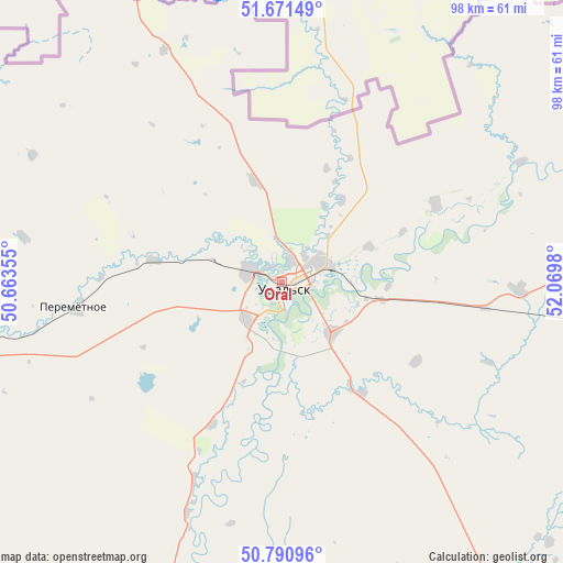
Oral GPS coordinates[2]
51° 13' 59.988" North, 51° 22' 0.012" East
| Map corner | latitude | longitude |
|---|---|---|
| Upper-left | 51.67149°, | 50.66355° |
| Center: | 51.23333°, | 51.36667° |
| Lower-right: | 50.79096°, | 52.0698° |
| Map W x H: | 97.9×97.9 km | = 60.8×60.8mi |
| max Lat: | 54.90596° ⇑22.6% North |
| Oral: | 51.23333° |
| min Lat: | ⇓77.4% South 40.66338° |
| min Long | Oral | max Long |
| 46.83361° | 51.36667° | 84.87144° |
| W 5.9%⇐ | ⇒94.1% E |
Elevation
Elevation of Oral is 35 m = 115 ft, and this is 321.5 m = 1055 ft below average elevation for this country.
| Max E: |
1847 m = 6060 ft | 89.6% |
| Avg. | 356.5 m = 1170 ft | |
| Oral | 35 m = 115 ft | |
Min E: |
-26 m = -85 ft | 10.4% |
See also: Oral elevation on elevation.city.
Geographical zone
Oral is located in North temperate zone (between Tropic of Cancer and the Arctic Circle). Distance of this North polar circle is 1704.6 km =1059.2 mi to North.| Distance of | km | miles | from Oral |
|---|---|---|---|
| North Pole | 4310.4 | 2678.4 | to North |
| Arctic Circle | 1704.6 | 1059.2 | to North |
| Tropic Cancer | 3090.7 | 1920.5 | to South |
| Equator | 5696.6 | 3539.7 | to South |


Nearby cities:
15 places around Oral: (largest is in red/bold)
• Akkol’
303 km =188.3 mi,  154°
154°
• Aqsay
113.9 km =70.8 mi,  93°
93°
• Burlin
96 km =59.7 mi,  77°
77°
• Chapaev
115.8 km =72 mi,  186°
186°
• Chingirlau
190.1 km =118.1 mi, 94°
• Dzhambeyty
138.9 km =86.3 mi,  141°
141°
• Dzhangala
236 km =146.6 mi,  198°
198°
• Fedorovka
41.1 km =25.5 mi, 91°
• Inderbor
299.8 km =186.3 mi,  174°
174°
• Kaztalovka
249.9 km =155.3 mi,  229°
229°
• Krūgloozernoe
18 km =11.2 mi, 197°
• Miyaly
313.2 km =194.6 mi, 146°
• Peremetnoe
35.8 km =22.2 mi,  263°
263°
• Tasqala
76 km =47.2 mi, 259°
• Zhumysker
253.3 km =157.4 mi,  213°
213°
Sources, notices
• [Note1] Compared only with cities in Kazakhstan existing in our database
• [Src1] Map data: © OpenStreetMap contributors (CC-BY-SA)
• [Src2] Other city data from geonames.org with taken over terms of usage.
• [Src3] Geographical zone / Annual Mean Temperature by Robert A. Rohde @ Wikipedia
