Fedorovka geodata
Fedorovka (Batys Qazaqstan) is a populated place; located in Kazakhstan in Asia/Oral (GMT+5) time zone. With population of 5,338 people, there are 185 cities with bigger population in this country. Compared to other cities in Kazakhstan, 77% of cities are located further ↓South; 91.9% of cities are located further →East and 85.6% of cities have higher elevation than Fedorovka. Note1


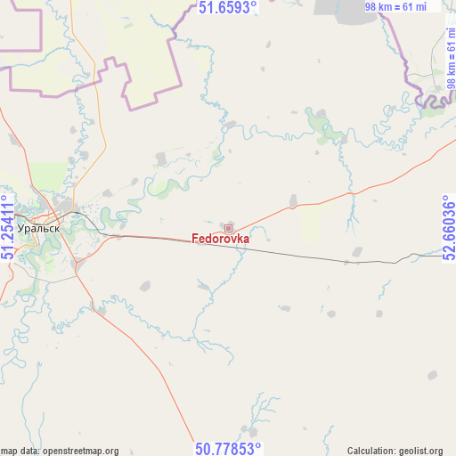
Fedorovka GPS coordinates[2]
51° 13' 15.672" North, 51° 57' 26.028" East
| Map corner | latitude | longitude |
|---|---|---|
| Upper-left | 51.6593°, | 51.25411° |
| Center: | 51.22102°, | 51.95723° |
| Lower-right: | 50.77853°, | 52.66036° |
| Map W x H: | 97.9×97.9 km | = 60.8×60.8mi |
| max Lat: | 54.90596° ⇑23% North |
| Fedorovka: | 51.22102° |
| min Lat: | ⇓77% South 40.66338° |
| min Long | Fedorovka | max Long |
| 46.83361° | 51.95723° | 84.87144° |
| W 8.1%⇐ | ⇒91.9% E |
Elevation
Elevation of Fedorovka is 78 m = 256 ft, and this is 278.5 m = 914 ft below average elevation for this country.
| Max E: |
1847 m = 6060 ft | 85.6% |
| Avg. | 356.5 m = 1170 ft | |
| Fedorovka | 78 m = 256 ft | |
Min E: |
-26 m = -85 ft | 14.4% |
See also: Kazakhstan elevation on elevation.city.
Geographical zone
Fedorovka is located in North temperate zone (between Tropic of Cancer and the Arctic Circle). Distance of this North polar circle is 1705.9 km =1060 mi to North.| Distance of | km | miles | from Fedorovka |
|---|---|---|---|
| North Pole | 4311.8 | 2679.2 | to North |
| Arctic Circle | 1705.9 | 1060 | to North |
| Tropic Cancer | 3089.3 | 1919.6 | to South |
| Equator | 5695.2 | 3538.8 | to South |


Nearby cities:
15 places around Fedorovka: (largest is in red/bold)
• Akkol’
286.1 km =177.8 mi,  162°
162°
• Aqsay
72.7 km =45.2 mi,  94°
94°
• Burlin
57.4 km =35.7 mi,  66°
66°
• Chapaev
126.4 km =78.5 mi,  206°
206°
• Chingirlau
148.9 km =92.5 mi,  95°
95°
• Dzhambeyty
116.3 km =72.3 mi, 157°
• Dzhangala
251 km =156 mi, 207°
• Inderbor
297.3 km =184.7 mi,  182°
182°
• Kaztalovka
282.1 km =175.3 mi,  235°
235°
• Krūgloozernoe
49.2 km =30.6 mi,  251°
251°
• Miyaly
290.9 km =180.8 mi,  153°
153°
• Oral
41.1 km =25.5 mi,  271°
271°
• Peremetnoe
76.8 km =47.7 mi, 268°
• Tasqala
116.6 km =72.5 mi,  263°
263°
• Zhumysker
277.6 km =172.5 mi,  220°
220°
Sources, notices
• [Note1] Compared only with cities in Kazakhstan existing in our database
• [Src1] Map data: © OpenStreetMap contributors (CC-BY-SA)
• [Src2] Other city data from geonames.org with taken over terms of usage.
• [Src3] Geographical zone / Annual Mean Temperature by Robert A. Rohde @ Wikipedia
