Balpyk Bī geodata
Balpyk Bī (Almaty Oblysy) is a populated place; located in Kazakhstan in Asia/Almaty (GMT+5) time zone. With population of 11,810 people, there are 100 cities with bigger population in this country. Compared to other cities in Kazakhstan, 73.7% of cities are located further ↑North; 83.7% of cities are located further ←West and 81.5% of cities have lower elevation than Balpyk Bī. Note1


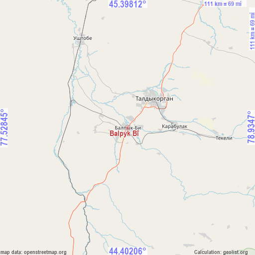
Balpyk Bī GPS coordinates[2]
44° 54' 8.1" North, 78° 13' 53.652" East
| Map corner | latitude | longitude |
|---|---|---|
| Upper-left | 45.39812°, | 77.52845° |
| Center: | 44.90225°, | 78.23157° |
| Lower-right: | 44.40206°, | 78.9347° |
| Map W x H: | 110.8×110.8 km | = 68.8×68.8mi |
| max Lat: | 54.90596° ⇑73.7% North |
| Balpyk Bī: | 44.90225° |
| min Lat: | ⇓26.3% South 40.66338° |
| min Long | Balpyk Bī | max Long |
| 46.83361° | 78.23157° | 84.87144° |
| W 83.7%⇐ | ⇒16.3% E |
Elevation
Elevation of Balpyk Bī is 584 m = 1916 ft, and this is 227.5 m = 746 ft above average elevation for this country.
| Max E: |
1847 m = 6060 ft | 18.5% |
| Balpyk Bī | 584 m 1916 ft | |
| Avg. | 356.5 m = 1170 ft | |
Min E: |
-26 m = -85 ft | 81.5% |
See also: Kazakhstan elevation on elevation.city.
Geographical zone
Balpyk Bī is located in North temperate zone (between Tropic of Cancer and the Arctic Circle). Distance of this Northern Tropic circle is 2386.7 km =1483 mi to South.| Distance of | km | miles | from Balpyk Bī |
|---|---|---|---|
| North Pole | 5014.4 | 3115.8 | to North |
| Arctic Circle | 2408.5 | 1496.6 | to North |
| Tropic Cancer | 2386.7 | 1483 | to South |
| Equator | 4992.7 | 3102.3 | to South |


Nearby cities:
15 places around Balpyk Bī: (largest is in red/bold)
• Bakanas
154.8 km =96.2 mi,  266°
266°
• Esik
182.9 km =113.6 mi,  199°
199°
• Kapshagay
147.9 km =91.9 mi,  218°
218°
• Lepsy
158.3 km =98.4 mi,  20°
20°
• Matay
116.7 km =72.5 mi, 18°
• Molaly
61.6 km =38.3 mi,  6°
6°
• Otegen Batyra
191.1 km =118.7 mi,  210°
210°
• Sarkand
143.6 km =89.2 mi,  66°
66°
• Saryozek
63.5 km =39.5 mi, 198°
• Taldykorgan
16.9 km =10.5 mi,  41°
41°
• Talghar
194.6 km =120.9 mi, 203°
• Tekeli
47.8 km =29.7 mi,  99°
99°
• Turgen
174.6 km =108.5 mi, 196°
• Ush-Tyube
43.6 km =27.1 mi,  333°
333°
• Zharkent
162.7 km =101.1 mi,  120°
120°
Sources, notices
• [Note1] Compared only with cities in Kazakhstan existing in our database
• [Src1] Map data: © OpenStreetMap contributors (CC-BY-SA)
• [Src2] Other city data from geonames.org with taken over terms of usage.
• [Src3] Geographical zone / Annual Mean Temperature by Robert A. Rohde @ Wikipedia
