Bakanas geodata
Bakanas (Almaty Oblysy) is a populated place; located in Kazakhstan in Asia/Almaty (GMT+5) time zone. With population of 6,965 people, there are 156 cities with bigger population in this country. Compared to other cities in Kazakhstan, 75.6% of cities are located further ↑North; 77.4% of cities are located further ←West and 60.7% of cities have lower elevation than Bakanas. Note1


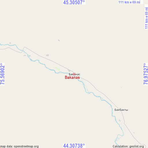
Bakanas GPS coordinates[2]
44° 48' 30.168" North, 76° 16' 19.704" East
| Map corner | latitude | longitude |
|---|---|---|
| Upper-left | 45.30507°, | 75.56902° |
| Center: | 44.80838°, | 76.27214° |
| Lower-right: | 44.30738°, | 76.97527° |
| Map W x H: | 110.9×110.9 km | = 68.9×68.9mi |
| max Lat: | 54.90596° ⇑75.6% North |
| Bakanas: | 44.80838° |
| min Lat: | ⇓24.4% South 40.66338° |
| min Long | Bakanas | max Long |
| 46.83361° | 76.27214° | 84.87144° |
| W 77.4%⇐ | ⇒22.6% E |
Elevation
Elevation of Bakanas is 395 m = 1296 ft, and this is 38.5 m = 126 ft above average elevation for this country.
| Max E: |
1847 m = 6060 ft | 39.3% |
| Bakanas | 395 m 1296 ft | |
| Avg. | 356.5 m = 1170 ft | |
Min E: |
-26 m = -85 ft | 60.7% |
See also: Kazakhstan elevation on elevation.city.
Geographical zone
Bakanas is located in North temperate zone (between Tropic of Cancer and the Arctic Circle). Distance of this Northern Tropic circle is 2376.3 km =1476.6 mi to South.| Distance of | km | miles | from Bakanas |
|---|---|---|---|
| North Pole | 5024.8 | 3122.3 | to North |
| Arctic Circle | 2418.9 | 1503 | to North |
| Tropic Cancer | 2376.3 | 1476.6 | to South |
| Equator | 4982.2 | 3095.8 | to South |


Nearby cities:
15 places around Bakanas: (largest is in red/bold)
• Almaty
180.3 km =112 mi,  163°
163°
• Balpyk Bī
154.8 km =96.2 mi,  86°
86°
• Burunday
168.1 km =104.5 mi, 163°
• Chemolgan
161.7 km =100.5 mi,  169°
169°
• Esik
187.1 km =116.3 mi,  149°
149°
• Kapshagay
122.1 km =75.9 mi, 149°
• Molaly
175.5 km =109.1 mi,  65°
65°
• Otegen Batyra
165.6 km =102.9 mi, 158°
• Pervomayka
168.2 km =104.5 mi, 161°
• Saryozek
143.5 km =89.2 mi,  110°
110°
• Taldykorgan
167.1 km =103.8 mi,  82°
82°
• Talghar
184.4 km =114.6 mi, 155°
• Turgen
188.8 km =117.3 mi, 146°
• Ush-Tyube
143 km =88.9 mi, 69°
• Ülken
185.8 km =115.5 mi,  283°
283°
Sources, notices
• [Note1] Compared only with cities in Kazakhstan existing in our database
• [Src1] Map data: © OpenStreetMap contributors (CC-BY-SA)
• [Src2] Other city data from geonames.org with taken over terms of usage.
• [Src3] Geographical zone / Annual Mean Temperature by Robert A. Rohde @ Wikipedia
