Abū Zabad geodata
Abū Zabad (West Kordofan State) is a populated place; located in Sudan in Africa/Khartoum (GMT+2) time zone. With population of 15,304 people, there are 46 cities with bigger population in this country. Compared to other cities in Sudan, 80.3% of cities are located further ↑North; 81.7% of cities are located further →East and 78.9% of cities have lower elevation than Abū Zabad. Note1


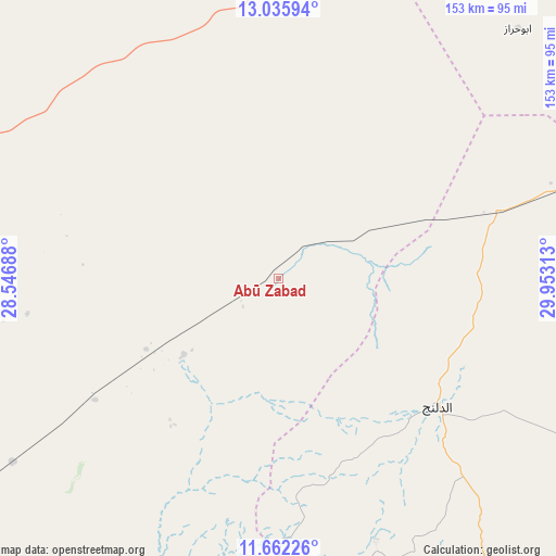
Abū Zabad GPS coordinates[2]
12° 21' 0" North, 29° 15' 0" East
| Map corner | latitude | longitude |
|---|---|---|
| Upper-left | 13.03594°, | 28.54688° |
| Center: | 12.35°, | 29.25° |
| Lower-right: | 11.66226°, | 29.95313° |
| Map W x H: | 152.7×152.7 km | = 94.9×94.9mi |
| max Lat: | 21.06667° ⇑80.3% North |
| Abū Zabad: | 12.35° |
| min Lat: | ⇓19.7% South 10.55° |
| min Long | Abū Zabad | max Long |
| 22.44725° | 29.25° | 37.729° |
| W 18.3%⇐ | ⇒81.7% E |
Elevation
Elevation of Abū Zabad is 559 m = 1834 ft, and this is 109.9 m = 361 ft above average elevation for this country.
| Max E: |
1159 m = 3802 ft | 21.1% |
| Abū Zabad | 559 m 1834 ft | |
| Avg. | 449.1 m = 1473 ft | |
Min E: |
4 m = 13 ft | 78.9% |
See also: Sudan elevation on elevation.city.
Geographical zone
Abū Zabad is located in North Torrid zone (between Equator and Tropic of Cancer). Distance of this Northern Tropic circle is 1232.7 km =766 mi to North.| Distance of | km | miles | from Abū Zabad |
|---|---|---|---|
| North Pole | 8633.9 | 5364.9 | to North |
| Arctic Circle | 6028 | 3745.6 | to North |
| Tropic Cancer | 1232.7 | 766 | to North |
| Equator | 1373.2 | 853.3 | to South |


Nearby cities:
15 places around Abū Zabad: (largest is in red/bold)
• Abu Jibeha
237.1 km =147.3 mi,  114°
114°
• Al Fūlah
118.8 km =73.8 mi,  234°
234°
• Al Lagowa
106.4 km =66.1 mi,  186°
186°
• Al Mijlad
220.7 km =137.1 mi, 228°
• An Nuhūd
96.8 km =60.1 mi,  293°
293°
• Ar Rahad
157.3 km =97.7 mi,  74°
74°
• Bārah
192.8 km =119.8 mi,  38°
38°
• Dilling
54.8 km =34.1 mi,  127°
127°
• El Fula
121.2 km =75.3 mi, 234°
• El Obeid
140 km =87 mi,  48°
48°
• Kadugli
157.4 km =97.8 mi,  161°
161°
• Talodi
227.2 km =141.2 mi,  147°
147°
• Tandaltī
293.4 km =182.3 mi,  75°
75°
• Umm Kaddadah
310.6 km =193 mi,  296°
296°
• Umm Ruwaba
222.1 km =138 mi, 73°
Sources, notices
• [Note1] Compared only with cities in Sudan existing in our database
• [Src1] Map data: © OpenStreetMap contributors (CC-BY-SA)
• [Src2] Other city data from geonames.org with taken over terms of usage.
• [Src3] Geographical zone / Annual Mean Temperature by Robert A. Rohde @ Wikipedia
